Partāpur night lights from space
Night Light of Partāpur (Rajasthan) from space (India) Src. Average luminocity for 10x10km area is 7.1627% and for 50x50km: 3.8791%.
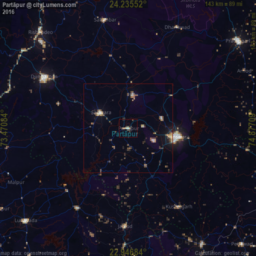
Analysis of Partāpur night lights 2016
Square area 10x10 km:
 0.2%
0.2%90-99
0.99%80-89
0.4%70-79
1.59%60-69
0.79%50-59
0.79%40-49
0.79%30-39
2.98%20-29
2.58%10-19
0.4%0-9
88.49%Square area 50x50 km:
0.07%90-99
0.43%80-89
0.4%70-79
0.38%60-69
0.51%50-59
0.81%40-49
0.89%30-39
0.83%20-29
1.01%10-19
1.74%0-9
92.93%Clear (daylight) street map image can be seen on geolist.org.
Map coordinates:
24° 14' 7.9" North, 73° 28' 15" East
23° 35' 33.9" North, 74° 10' 26.3" East
22° 56' 48.6" North, 74° 52' 37.5" East
Some cities around Partāpur sort by population:
• Bānswāra
28 km =17.4 mi,  101°
101°
• Dūngarpur
54.4 km =33.8 mi,  300°
300°
• Sālūmbar
61.7 km =38.3 mi,  347°
347°
• Thandla
76.8 km =47.7 mi,  147°
147°
• Meghraj
68.1 km =42.3 mi,  261°
261°
• Kushālgarh
52.1 km =32.4 mi, 147°
• Mālpur
76.7 km =47.7 mi,  250°
250°
• Galiākot
17.6 km =10.9 mi,  242°
242°
1260232 (p: 10,080)
Sources (retrieved 2019-11-25):
» Earth at Night: Flat Maps 2012, 2016