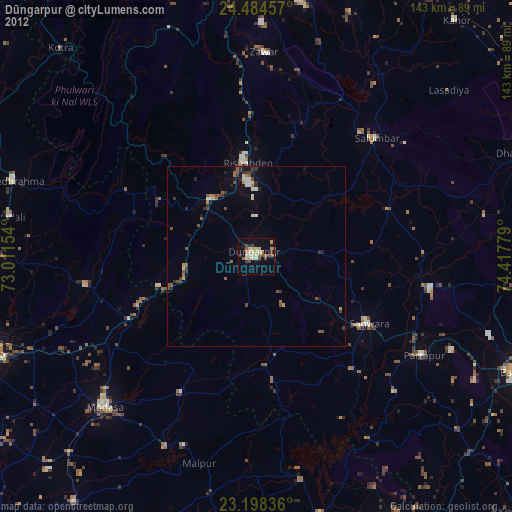
Dūngarpur night lights from space
Night Light of Dūngarpur (Rajasthan) from space (India) Src. Average luminocity for 10x10km area is 29.3571% and for 50x50km: 3.4209%.
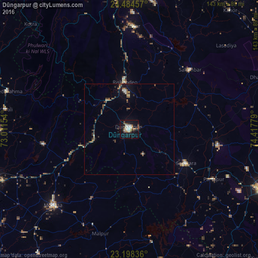
Analysis of Dūngarpur night lights 2016
Square area 10x10 km:
 2.78%
2.78%90-99
9.52%80-89
1.59%70-79
2.58%60-69
4.37%50-59
3.37%40-49
4.56%30-39
1.79%20-29
2.98%10-19
35.32%0-9
31.15%Square area 50x50 km:
0.13%90-99
0.65%80-89
0.19%70-79
0.33%60-69
0.38%50-59
0.79%40-49
0.71%30-39
0.62%20-29
0.53%10-19
2.63%0-9
93.05%Clear (daylight) street map image can be seen on geolist.org.
Map coordinates:
24° 29' 4.5" North, 73° 0' 41.5" East
23° 50' 35" North, 73° 42' 52.8" East
23° 11' 54.1" North, 74° 25' 4" East
Some cities around Dūngarpur sort by population:
• Modāsa
59.9 km =37.2 mi,  225°
225°
• Khedbrahma
71 km =44.1 mi,  287°
287°
• Sālūmbar
46.7 km =29 mi,  45°
45°
• Meghraj
43.5 km =27 mi,  208°
208°
• Partāpur
54.4 km =33.8 mi,  120°
120°
• Virpur
76.5 km =47.5 mi,  198°
198°
• Mālpur
59.4 km =36.9 mi, 205°
• Galiākot
47.5 km =29.5 mi,  139°
139°
1272201 (p: 45,195)
Sources (retrieved 2019-11-25):
» Earth at Night: Flat Maps 2012, 2016