Bānswāra night lights from space
Night Light of Bānswāra (Rajasthan) from space (India) Src. Average luminocity for 10x10km area is 42.496% and for 50x50km: 3.8166%.
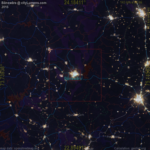
Analysis of Bānswāra night lights 2016
Square area 10x10 km:
 6.15%
6.15%90-99
12.9%80-89
5.16%70-79
5.36%60-69
2.98%50-59
3.97%40-49
5.16%30-39
4.96%20-29
5.56%10-19
38.89%0-9
8.93%Square area 50x50 km:
0.31%90-99
0.68%80-89
0.4%70-79
0.35%60-69
0.44%50-59
0.63%40-49
0.44%30-39
0.6%20-29
0.63%10-19
3.16%0-9
92.36%Clear (daylight) street map image can be seen on geolist.org.
Map coordinates:
24° 11' 2.8" North, 73° 44' 21.8" East
23° 32' 27.9" North, 74° 26' 33" East
22° 53' 41.7" North, 75° 8' 44.3" East
Some cities around Bānswāra sort by population:
• Pratāpgarh
64.6 km =40.1 mi,  32°
32°
• Thandla
60.7 km =37.7 mi,  166°
166°
• Sailāna
49.8 km =30.9 mi,  100°
100°
• Kushālgarh
38 km =23.6 mi,  178°
178°
• Partāpur
28 km =17.4 mi,  281°
281°
• Namli
63.6 km =39.5 mi, 98°
• Bamna
59.4 km =36.9 mi,  146°
146°
• Galiākot
43.1 km =26.8 mi,  266°
266°
1277214 (p: 93,648)
Sources (retrieved 2019-11-25):
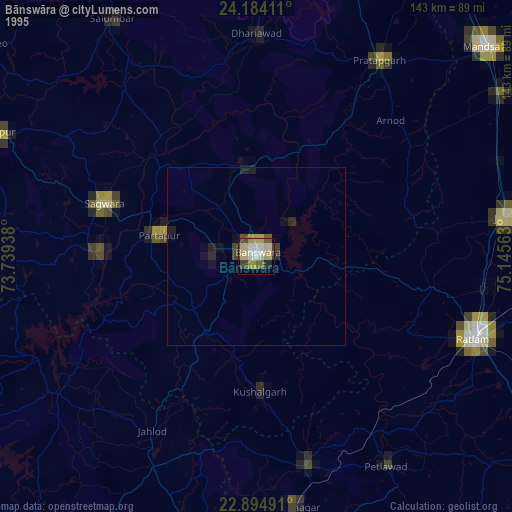
» NASA, Earths city lights 1995
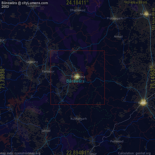
» NASA city lights 2003
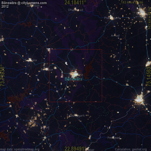
» Earth at Night: Flat Maps 2012, 2016