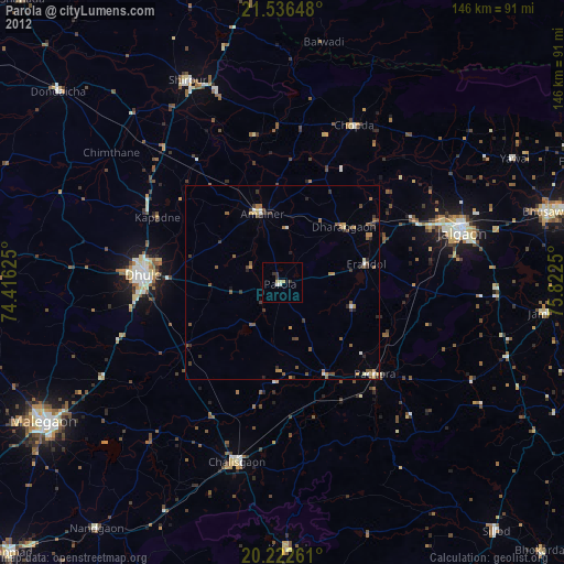
Parola night lights from space
Night Light of Parola (Maharashtra) from space (India) Src. Average luminocity for 10x10km area is 11.9623% and for 50x50km: 4.9946%.
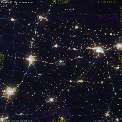
Analysis of Parola night lights 2016
Square area 10x10 km:
 0.4%
0.4%90-99
2.78%80-89
0.79%70-79
0.79%60-69
0%50-59
2.18%40-49
3.77%30-39
3.57%20-29
2.38%10-19
0.79%0-9
82.54%Square area 50x50 km:
0.06%90-99
0.73%80-89
0.31%70-79
0.48%60-69
0.82%50-59
1.06%40-49
1.22%30-39
1.18%20-29
1.18%10-19
1.01%0-9
91.95%Clear (daylight) street map image can be seen on geolist.org.
Map coordinates:
21° 32' 11.3" North, 74° 24' 58.5" East
20° 52' 51.5" North, 75° 7' 9.7" East
20° 13' 21.4" North, 75° 49' 21" East
Some cities around Parola sort by population:
• Jalgaon
48.3 km =30 mi,  73°
73°
• Dhūlia
35.6 km =22.1 mi,  273°
273°
• Amalner
18.7 km =11.6 mi,  340°
340°
• Chālisgaon
48.3 km =30 mi,  192°
192°
• Chopda
44.7 km =27.8 mi,  24°
24°
• Pāchora
34 km =21.1 mi,  134°
134°
• Dharangaon
21.7 km =13.5 mi,  47°
47°
• Erandol
22 km =13.7 mi,  78°
78°
1260274 (p: 37,001)
Sources (retrieved 2019-11-25):
» Earth at Night: Flat Maps 2012, 2016