Chālisgaon night lights from space
Night Light of Chālisgaon (Maharashtra) from space (India) Src. Average luminocity for 10x10km area is 27.25% and for 50x50km: 4.2913%.
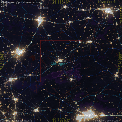
Analysis of Chālisgaon night lights 2016
Square area 10x10 km:
 0.38%
0.38%90-99
6.06%80-89
4.73%70-79
3.22%60-69
5.11%50-59
2.08%40-49
4.92%30-39
3.22%20-29
2.08%10-19
35.42%0-9
32.77%Square area 50x50 km:
0.02%90-99
0.61%80-89
0.45%70-79
0.47%60-69
0.61%50-59
0.73%40-49
1.06%30-39
1.05%20-29
0.92%10-19
2.16%0-9
91.9%Clear (daylight) street map image can be seen on geolist.org.
Map coordinates:
21° 6' 54.6" North, 74° 18' 46.2" East
20° 27' 28.1" North, 75° 0' 57.5" East
19° 47' 51.5" North, 75° 43' 8.7" East
Some cities around Chālisgaon sort by population:
• Mālegaon
51.2 km =31.8 mi,  281°
281°
• Dhūlia
55.2 km =34.3 mi,  333°
333°
• Pāchora
42.1 km =26.2 mi,  56°
56°
• Kannad
25.7 km =16 mi,  150°
150°
• Parola
48.3 km =30 mi,  12°
12°
• Erandol
60.9 km =37.8 mi,  32°
32°
• Nāndgaon
41.2 km =25.6 mi,  245°
245°
• Khuldābād
53.4 km =33.2 mi,  159°
159°
1274868 (p: 96,381)
Sources (retrieved 2019-11-25):
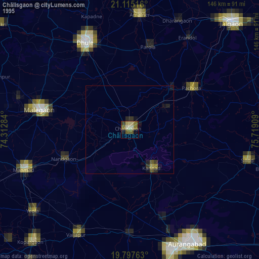
» NASA, Earths city lights 1995
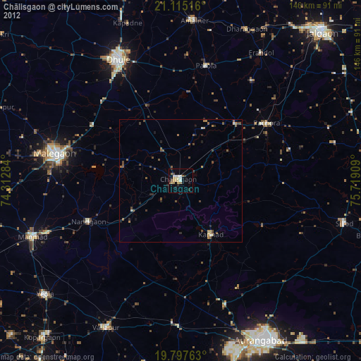
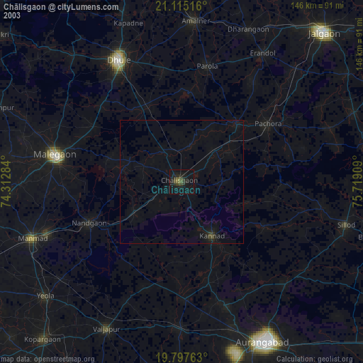
» NASA city lights 2003
» Earth at Night: Flat Maps 2012, 2016