Pāchora night lights from space
Night Light of Pāchora (Maharashtra) from space (India) Src. Average luminocity for 10x10km area is 18.928% and for 50x50km: 3.802%.
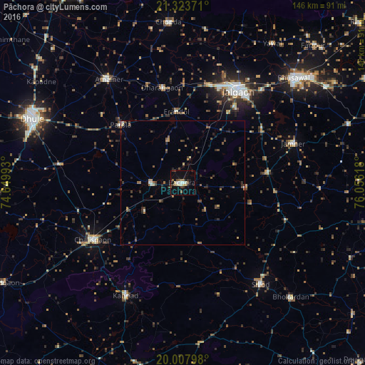
Analysis of Pāchora night lights 2016
Square area 10x10 km:
 0.76%
0.76%90-99
4.17%80-89
1.89%70-79
1.14%60-69
2.27%50-59
4.55%40-49
2.27%30-39
3.79%20-29
1.33%10-19
10.42%0-9
67.42%Square area 50x50 km:
0.06%90-99
0.44%80-89
0.19%70-79
0.48%60-69
0.55%50-59
0.87%40-49
0.75%30-39
0.97%20-29
1.12%10-19
1.3%0-9
93.28%Clear (daylight) street map image can be seen on geolist.org.
Map coordinates:
21° 19' 25.4" North, 74° 38' 59.7" East
20° 40' 2.2" North, 75° 21' 11" East
20° 0' 28.7" North, 76° 3' 22.2" East
Some cities around Pāchora sort by population:
• Jalgaon
43.4 km =27 mi,  30°
30°
• Chālisgaon
42.1 km =26.2 mi,  236°
236°
• Sillod
51.1 km =31.8 mi,  142°
142°
• Kannad
50.8 km =31.6 mi,  206°
206°
• Parola
34 km =21.1 mi,  314°
314°
• Dharangaon
39.2 km =24.4 mi,  347°
347°
• Erandol
28.5 km =17.7 mi, 354°
• Soygaon
28.6 km =17.8 mi,  106°
106°
1260959 (p: 46,823)
Sources (retrieved 2019-11-25):
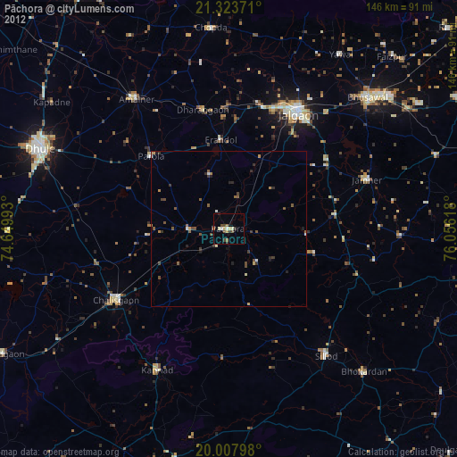
» Earth at Night: Flat Maps 2012, 2016