Jalgaon night lights from space
Night Light of Jalgaon (Maharashtra) from space (India) Src. Average luminocity for 10x10km area is 68.8234% and for 50x50km: 12.5238%.
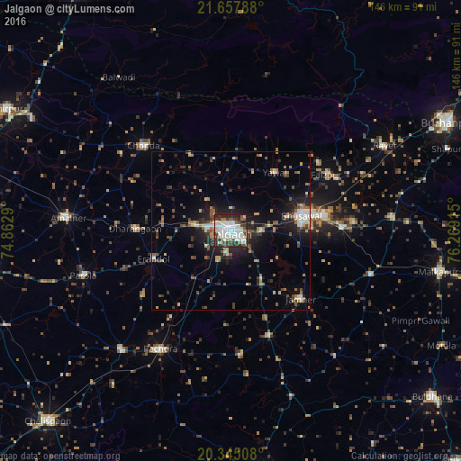

Analysis of Jalgaon night lights 2016
Square area 10x10 km:
 16.87%
90-99
29.76%80-89
3.37%70-79
2.58%60-69
4.96%50-59
6.35%40-49
8.33%30-39
12.3%20-29
14.68%10-19
0.79%0-9
0%Square area 50x50 km:
1.06%90-99
2.27%80-89
1.2%70-79
1.13%60-69
1.64%50-59
1.93%40-49
2.09%30-39
2.31%20-29
3.82%10-19
7.47%0-9
75.08%Clear (daylight) street map image can be seen on geolist.org.
Map coordinates:
21° 39' 28.4" North, 74° 51' 46.4" East
21° 0' 10.5" North, 75° 33' 57.7" East
20° 20' 42.3" North, 76° 16' 8.9" East
Some cities around Jalgaon sort by population:
• Bhusāval
23.2 km =14.4 mi,  78°
78°
• Chopda
38.6 km =24 mi,  314°
314°
• Varangaon
35.8 km =22.2 mi,  87°
87°
• Dharangaon
30.3 km =18.8 mi,  271°
271°
• Yāval
22.9 km =14.2 mi,  36°
36°
• Erandol
26.5 km =16.5 mi,  250°
250°
• Faizpur
35.6 km =22.1 mi,  59°
59°
• Sāvda
37.3 km =23.2 mi, 63°
1269407 (p: 429,298)
Sources (retrieved 2019-11-25):
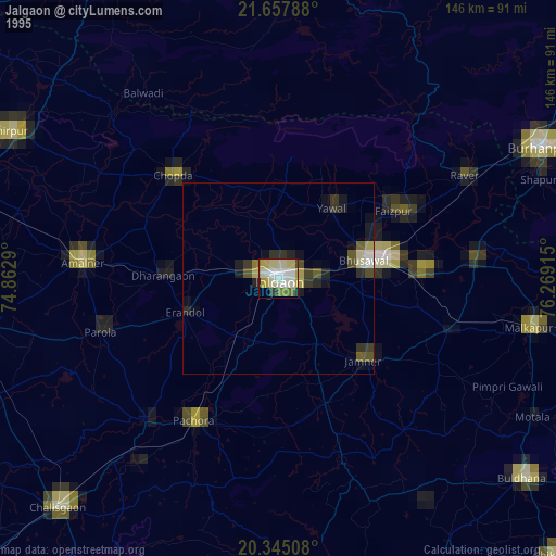
» NASA, Earths city lights 1995
» NASA city lights 2003
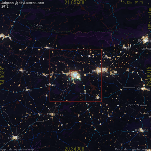
» Earth at Night: Flat Maps 2012, 2016