Parāsia night lights from space
Night Light of Parāsia (Madhya Pradesh) from space (India) Src. Average luminocity for 10x10km area is 34.7917% and for 50x50km: 8.3154%.
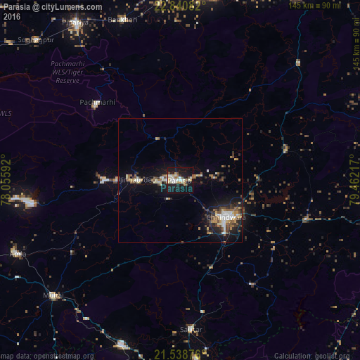
Analysis of Parāsia night lights 2016
Square area 10x10 km:
 4.55%
4.55%90-99
10.42%80-89
3.6%70-79
3.41%60-69
4.55%50-59
2.84%40-49
1.7%30-39
0.76%20-29
5.11%10-19
50.95%0-9
12.12%Square area 50x50 km:
0.95%90-99
1.44%80-89
0.81%70-79
0.79%60-69
1.08%50-59
1.17%40-49
1.26%30-39
1.22%20-29
1.97%10-19
6.79%0-9
82.53%Clear (daylight) street map image can be seen on geolist.org.
Map coordinates:
22° 50' 27" North, 78° 3' 21.3" East
22° 11' 28.7" North, 78° 45' 32.5" East
21° 32' 19.5" North, 79° 27' 43.8" East
Some cities around Parāsia sort by population:
• Chhindwāra
23.9 km =14.9 mi,  128°
128°
• Sausar
59.7 km =37.1 mi,  176°
176°
• Jāmai
17.2 km =10.7 mi,  271°
271°
• Multai
69.4 km =43.1 mi,  228°
228°
• Amarwāra
43.9 km =27.3 mi,  74°
74°
• Mohgaon
61.4 km =38.2 mi, 182°
• Harrai
66.9 km =41.6 mi,  45°
45°
• Lodhīkheda
68.5 km =42.6 mi,  171°
171°
1260368 (p: 39,440)
Sources (retrieved 2019-11-25):
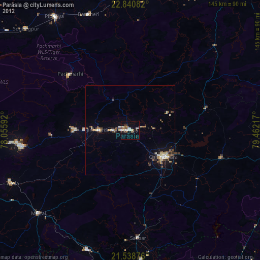
» Earth at Night: Flat Maps 2012, 2016