Chhindwāra night lights from space
Night Light of Chhindwāra (Madhya Pradesh) from space (India) Src. Average luminocity for 10x10km area is 62.4286% and for 50x50km: 8.3729%.
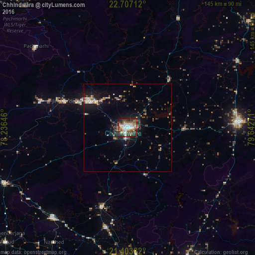
Analysis of Chhindwāra night lights 2016
Square area 10x10 km:
 14.29%
90-99
13.49%80-89
6.55%70-79
7.34%60-69
6.94%50-59
14.09%40-49
9.52%30-39
10.91%20-29
12.1%10-19
4.76%0-9
0%Square area 50x50 km:
0.9%90-99
1.14%80-89
0.6%70-79
0.93%60-69
1.13%50-59
1.28%40-49
1.53%30-39
1.66%20-29
2.47%10-19
6.57%0-9
81.79%Clear (daylight) street map image can be seen on geolist.org.
Map coordinates:
22° 42' 25.6" North, 78° 14' 11.3" East
22° 3' 25.1" North, 78° 56' 22.5" East
21° 24' 13.8" North, 79° 38' 33.8" East
Some cities around Chhindwāra sort by population:
• Seoni
63 km =39.1 mi,  87°
87°
• Pāndhurnā
66.7 km =41.4 mi,  219°
219°
• Parāsia
23.9 km =14.9 mi,  308°
308°
• Sausar
47 km =29.2 mi,  198°
198°
• Jāmai
39 km =24.2 mi,  293°
293°
• Amarwāra
35.7 km =22.2 mi,  41°
41°
• Mohgaon
50.9 km =31.6 mi, 204°
• Lodhīkheda
53.4 km =33.2 mi,  188°
188°
1274304 (p: 134,847)
Sources (retrieved 2019-11-25):
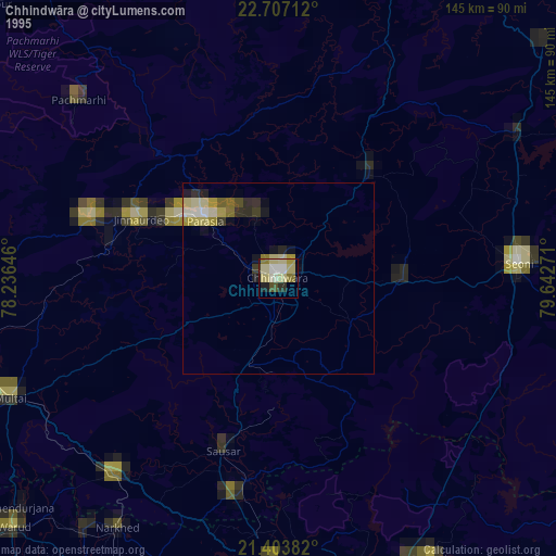
» NASA, Earths city lights 1995
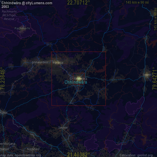
» NASA city lights 2003
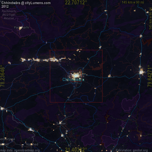
» Earth at Night: Flat Maps 2012, 2016