Multai night lights from space
Night Light of Multai (Madhya Pradesh) from space (India) Src. Average luminocity for 10x10km area is 13.1865% and for 50x50km: 2.3615%.
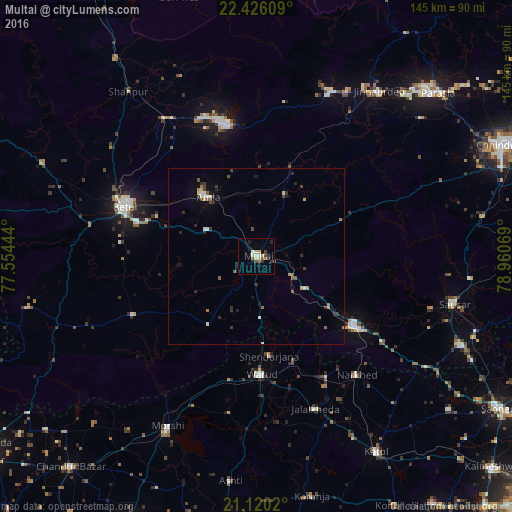
Analysis of Multai night lights 2016
Square area 10x10 km:
 0.99%
0.99%90-99
1.39%80-89
3.17%70-79
1.59%60-69
0.79%50-59
1.98%40-49
2.78%30-39
1.98%20-29
1.98%10-19
1.19%0-9
82.14%Square area 50x50 km:
0.19%90-99
0.25%80-89
0.29%70-79
0.2%60-69
0.28%50-59
0.38%40-49
0.48%30-39
0.52%20-29
0.6%10-19
0.49%0-9
96.33%Clear (daylight) street map image can be seen on geolist.org.
Map coordinates:
22° 25' 33.9" North, 77° 33' 16" East
21° 46' 28.7" North, 78° 15' 27.2" East
21° 7' 12.7" North, 78° 57' 38.5" East
Some cities around Multai sort by population:
• Betūl
39.3 km =24.4 mi,  290°
290°
• Warud
33.8 km =21 mi,  177°
177°
• Pāndhurnā
34.2 km =21.3 mi,  125°
125°
• Morsi
54.5 km =33.9 mi,  207°
207°
• Amla
21.4 km =13.3 mi,  321°
321°
• Mohgaon
51.7 km =32.1 mi,  106°
106°
• Betūl Bazār
35.1 km =21.8 mi,  284°
284°
• Mowād
39.8 km =24.7 mi,  149°
149°
1262534 (p: 22,029)
Sources (retrieved 2019-11-25):
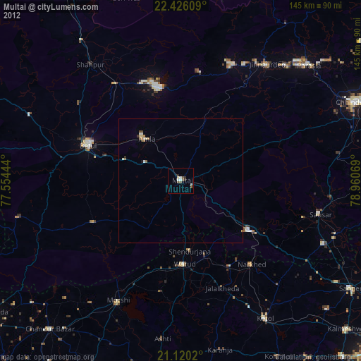
» Earth at Night: Flat Maps 2012, 2016