Pallappatti night lights from space
Night Light of Pallappatti (Tamil Nadu) from space (India) Src. Average luminocity for 10x10km area is 4.6529% and for 50x50km: 3.3423%.
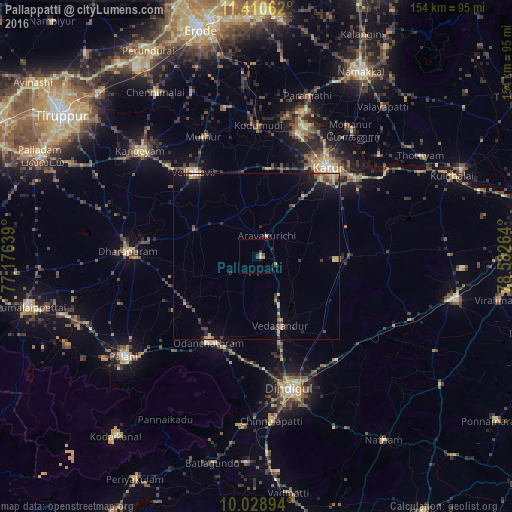
Analysis of Pallappatti night lights 2016
Square area 10x10 km:
 0%
0%90-99
0.83%80-89
1.03%70-79
0.62%60-69
0%50-59
0.83%40-49
0%30-39
2.89%20-29
0.83%10-19
0.83%0-9
92.15%Square area 50x50 km:
0%90-99
0.18%80-89
0.61%70-79
0.57%60-69
0.31%50-59
0.56%40-49
0.67%30-39
0.75%20-29
1.07%10-19
1.95%0-9
93.32%Clear (daylight) street map image can be seen on geolist.org.
Map coordinates:
11° 24' 38.2" North, 77° 10' 35" East
10° 43' 14.1" North, 77° 52' 46.2" East
10° 1' 44.2" North, 78° 34' 57.5" East
Some cities around Pallappatti sort by population:
• Dindigul
40.6 km =25.2 mi,  164°
164°
• Karur
34.3 km =21.3 mi,  39°
39°
• Dharapuram
38 km =23.6 mi,  272°
272°
• Vadamadurai
39.2 km =24.4 mi,  142°
142°
• Kodumudi
39.7 km =24.7 mi,  0°
0°
• Vedasandūr
22.4 km =13.9 mi, 159°
• Mūlanūr
20.1 km =12.5 mi,  294°
294°
• Kīranūr
43.5 km =27 mi,  251°
251°
1260694 (p: 20,281)
Sources (retrieved 2019-11-25):
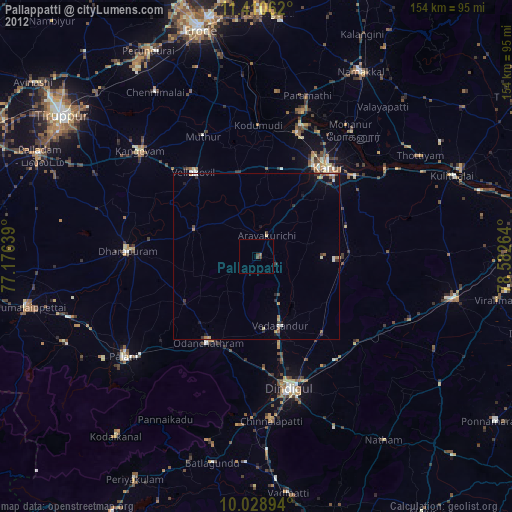
» Earth at Night: Flat Maps 2012, 2016