Karur night lights from space
Night Light of Karur (Tamil Nadu) from space (India) Src. Average luminocity for 10x10km area is 60.3203% and for 50x50km: 10.8984%.
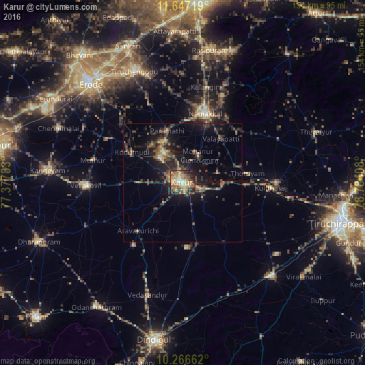
Analysis of Karur night lights 2016
Square area 10x10 km:
 1.08%
1.08%90-99
8.66%80-89
15.58%70-79
18.61%60-69
8.87%50-59
14.07%40-49
11.9%30-39
4.98%20-29
12.34%10-19
3.9%0-9
0%Square area 50x50 km:
0.1%90-99
0.7%80-89
1.2%70-79
1.72%60-69
1.47%50-59
2.05%40-49
2.66%30-39
2.75%20-29
4.72%10-19
9.01%0-9
73.62%Clear (daylight) street map image can be seen on geolist.org.
Map coordinates:
11° 38' 49.9" North, 77° 22' 40.2" East
10° 57' 27.8" North, 78° 4' 51.4" East
10° 15' 59.8" North, 78° 47' 2.7" East
Some cities around Karur sort by population:
• Nāmakkal
30.7 km =19.1 mi,  17°
17°
• Pallappatti
34.3 km =21.3 mi,  219°
219°
• Velur
18.9 km =11.7 mi,  332°
332°
• Kodumudi
25.3 km =15.7 mi,  301°
301°
• Mohanūr
13 km =8.1 mi,  29°
29°
• Kāttupputtūr
15.6 km =9.7 mi,  75°
75°
• Erumaippatti
31 km =19.3 mi,  47°
47°
• Puduppatti
25.9 km =16.1 mi, 33°
1267648 (p: 76,915)
Sources (retrieved 2019-11-25):
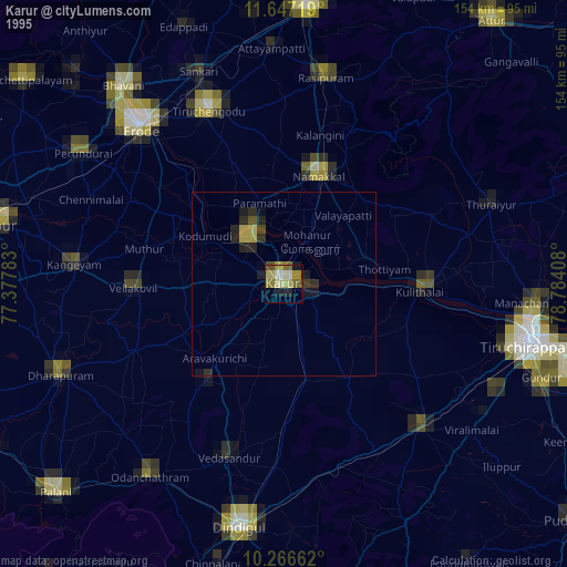
» NASA, Earths city lights 1995
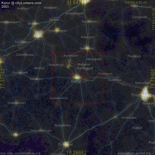
» NASA city lights 2003
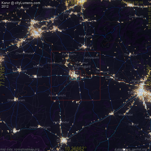
» Earth at Night: Flat Maps 2012, 2016