Dindigul night lights from space
Night Light of Dindigul (Tamil Nadu) from space (India) Src. Average luminocity for 10x10km area is 53.8409% and for 50x50km: 7.0831%.
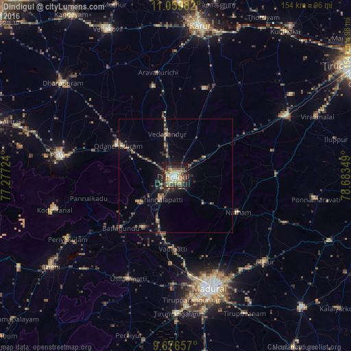
Analysis of Dindigul night lights 2016
Square area 10x10 km:
 2.27%
2.27%90-99
7.85%80-89
9.5%70-79
16.53%60-69
7.64%50-59
7.02%40-49
12.4%30-39
13.43%20-29
10.74%10-19
12.6%0-9
0%Square area 50x50 km:
0.09%90-99
0.53%80-89
0.8%70-79
1.32%60-69
1.08%50-59
1.03%40-49
1.25%30-39
2%20-29
2.37%10-19
4.5%0-9
85.03%Clear (daylight) street map image can be seen on geolist.org.
Map coordinates:
11° 3' 35.4" North, 77° 16' 38.1" East
10° 22' 8.3" North, 77° 58' 49.3" East
9° 40' 35.7" North, 78° 41' 0.6" East
Some cities around Dindigul sort by population:
• Vattalkundu
33.5 km =20.8 mi,  226°
226°
• Vādippatti
31.7 km =19.7 mi,  183°
183°
• Nattam
31.5 km =19.6 mi,  119°
119°
• Nilakottai
26.8 km =16.7 mi,  212°
212°
• V.S.K.Valasai (Dindigul-Dist.)
19.6 km =12.2 mi,  107°
107°
• Vadamadurai
15.1 km =9.4 mi,  58°
58°
• Vedasandūr
18.3 km =11.4 mi,  349°
349°
• Pālamedu
32.8 km =20.4 mi,  153°
153°
1272543 (p: 200,797)
Sources (retrieved 2019-11-25):
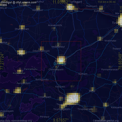
» NASA, Earths city lights 1995
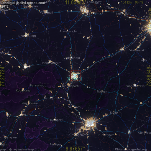
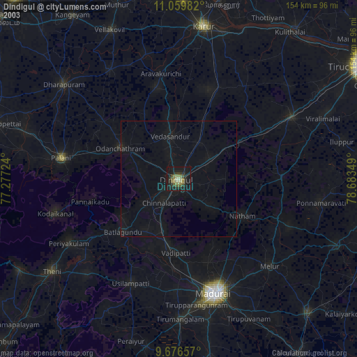
» NASA city lights 2003
» Earth at Night: Flat Maps 2012, 2016