Soygaon night lights from space
Night Light of Soygaon (Maharashtra) from space (India) Src. Average luminocity for 10x10km area is 3.392% and for 50x50km: 3.3244%.
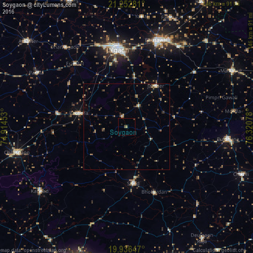
Analysis of Soygaon night lights 2016
Square area 10x10 km:
 0%
0%90-99
0%80-89
0.38%70-79
0.38%60-69
0.38%50-59
1.14%40-49
2.27%30-39
0%20-29
0.76%10-19
0%0-9
94.7%Square area 50x50 km:
0.02%90-99
0.23%80-89
0.27%70-79
0.47%60-69
0.56%50-59
0.61%40-49
0.72%30-39
1.08%20-29
1.02%10-19
0.85%0-9
94.16%Clear (daylight) street map image can be seen on geolist.org.
Map coordinates:
21° 15' 10.1" North, 74° 54' 52.3" East
20° 35' 45.8" North, 75° 37' 3.5" East
19° 56' 11.3" North, 76° 19' 14.8" East
Some cities around Soygaon sort by population:
• Jalgaon
45.6 km =28.3 mi,  353°
353°
• Bhusāval
52.7 km =32.7 mi,  19°
19°
• Buldāna
59.5 km =37 mi,  97°
97°
• Sillod
32.8 km =20.4 mi,  173°
173°
• Pāchora
28.6 km =17.8 mi,  286°
286°
• Varangaon
55.9 km =34.7 mi,  32°
32°
• Dharangaon
58.4 km =36.3 mi,  322°
322°
• Erandol
47.2 km =29.3 mi, 320°
1255667 (p: 23,320)
Sources (retrieved 2019-11-25):
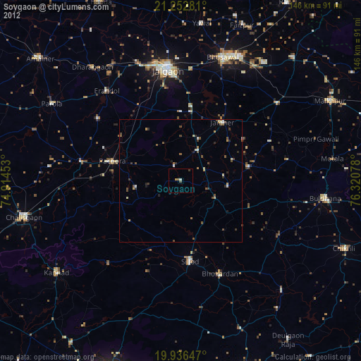
» Earth at Night: Flat Maps 2012, 2016