Kannad night lights from space
Night Light of Kannad (Maharashtra) from space (India) Src. Average luminocity for 10x10km area is 14.5675% and for 50x50km: 3.2865%.
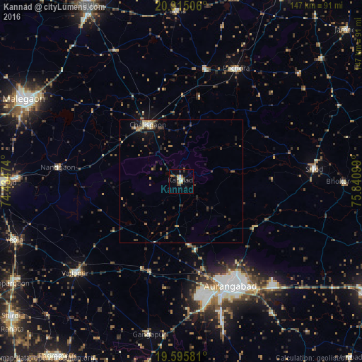
Analysis of Kannad night lights 2016
Square area 10x10 km:
 0.2%
0.2%90-99
3.57%80-89
1.59%70-79
1.79%60-69
2.18%50-59
1.39%40-49
3.17%30-39
1.59%20-29
2.58%10-19
1.39%0-9
80.56%Square area 50x50 km:
0.02%90-99
0.46%80-89
0.25%70-79
0.32%60-69
0.53%50-59
0.62%40-49
0.8%30-39
0.85%20-29
0.81%10-19
1.68%0-9
93.67%Clear (daylight) street map image can be seen on geolist.org.
Map coordinates:
20° 54' 54.2" North, 74° 26' 5.1" East
20° 15' 24.6" North, 75° 8' 16.3" East
19° 35' 44.9" North, 75° 50' 27.6" East
Some cities around Kannad sort by population:
• Aurangabad
47.3 km =29.4 mi,  153°
153°
• Chālisgaon
25.7 km =16 mi,  330°
330°
• Sillod
54 km =33.6 mi,  84°
84°
• Pāchora
50.8 km =31.6 mi,  26°
26°
• Vaijāpur
56.4 km =35 mi,  229°
229°
• Nāndgaon
50.7 km =31.5 mi,  276°
276°
• Khuldābād
28.4 km =17.6 mi,  168°
168°
• Daulatābād
36.7 km =22.8 mi, 166°
1268020 (p: 42,056)
Sources (retrieved 2019-11-25):
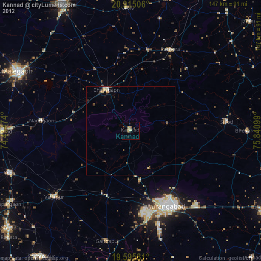
» Earth at Night: Flat Maps 2012, 2016