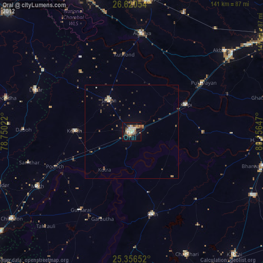
Orai night lights from space
Night Light of Orai (Uttar Pradesh) from space (India) Src. Average luminocity for 10x10km area is 54.4583% and for 50x50km: 7.1624%.


Analysis of Orai night lights 2016
Square area 10x10 km:
 12.7%
12.7%90-99
12.1%80-89
5.36%70-79
4.37%60-69
8.53%50-59
6.94%40-49
8.33%30-39
7.94%20-29
19.25%10-19
14.48%0-9
0%Square area 50x50 km:
0.68%90-99
0.86%80-89
0.54%70-79
0.5%60-69
1%50-59
1.25%40-49
1.45%30-39
1.61%20-29
1.85%10-19
5.09%0-9
85.17%Clear (daylight) street map image can be seen on geolist.org.
Map coordinates:
26° 37' 13.9" North, 78° 45' 0.8" East
25° 59' 24.8" North, 79° 27' 12" East
25° 21' 23.5" North, 80° 9' 23.3" East
Some cities around Orai sort by population:
• Jālaun
20.8 km =12.9 mi,  325°
325°
• Konch
30.2 km =18.8 mi,  270°
270°
• Kālpi
31.3 km =19.4 mi,  63°
63°
• Kadaura
38.5 km =23.9 mi,  90°
90°
• Mādhogarh
41.4 km =25.7 mi,  319°
319°
• Kotra
24.9 km =15.5 mi,  215°
215°
• Sarīla
32.6 km =20.3 mi,  137°
137°
• Gohānd
33.7 km =20.9 mi,  164°
164°
1261039 (p: 158,265)
Sources (retrieved 2019-11-25):
» NASA, Earths city lights 1995
» NASA city lights 2003
» Earth at Night: Flat Maps 2012, 2016