Konch night lights from space
Night Light of Konch (Uttar Pradesh) from space (India) Src. Average luminocity for 10x10km area is 15.1171% and for 50x50km: 6.4757%.
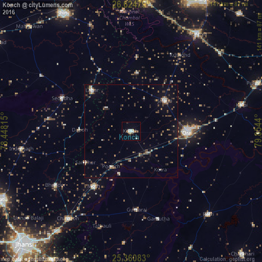
Analysis of Konch night lights 2016
Square area 10x10 km:
 2.38%
2.38%90-99
4.17%80-89
1.39%70-79
0.6%60-69
0.99%50-59
1.98%40-49
1.19%30-39
0.79%20-29
3.17%10-19
1.39%0-9
81.94%Square area 50x50 km:
0.4%90-99
0.73%80-89
0.48%70-79
0.48%60-69
0.82%50-59
1%40-49
1.5%30-39
1.53%20-29
1.64%10-19
2.82%0-9
88.62%Clear (daylight) street map image can be seen on geolist.org.
Map coordinates:
26° 37' 29.2" North, 78° 26' 53.3" East
25° 59' 40.2" North, 79° 9' 4.6" East
25° 21' 39" North, 79° 51' 15.8" East
Some cities around Konch sort by population:
• Orai
30.2 km =18.8 mi,  90°
90°
• Jālaun
25 km =15.5 mi,  47°
47°
• Lahār
30.5 km =19 mi,  316°
316°
• Samthar
29.7 km =18.5 mi,  235°
235°
• Daboh
27.5 km =17.1 mi,  271°
271°
• Mādhogarh
31.4 km =19.5 mi,  6°
6°
• Kotra
26.1 km =16.2 mi,  142°
142°
• Nadīgaon
18 km =11.2 mi,  314°
314°
1266217 (p: 52,773)
Sources (retrieved 2019-11-25):
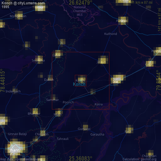
» NASA, Earths city lights 1995
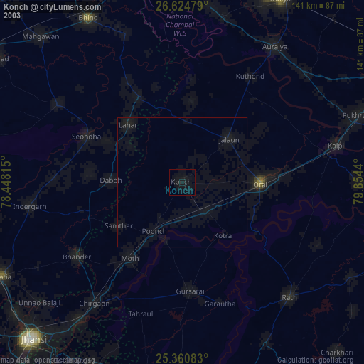
» NASA city lights 2003
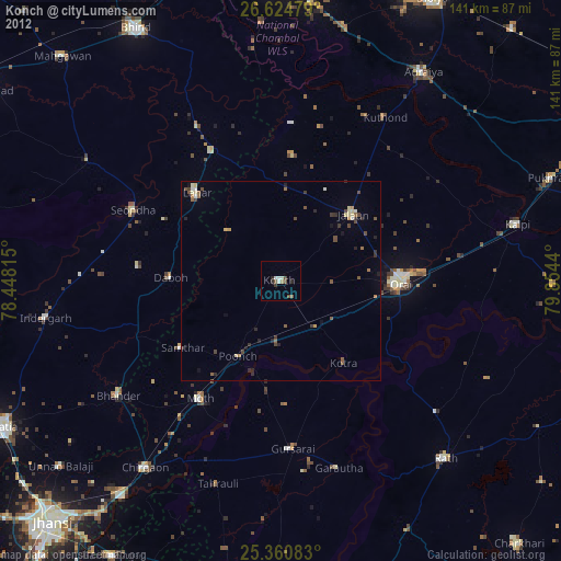
» Earth at Night: Flat Maps 2012, 2016