Nizāmābād night lights from space
Night Light of Nizāmābād (Telangana) from space (India) Src. Average luminocity for 10x10km area is 69.8636% and for 50x50km: 13.2498%.
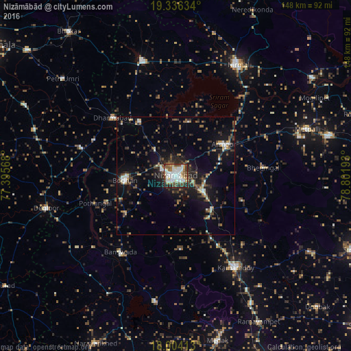
Analysis of Nizāmābād night lights 2016
Square area 10x10 km:
 18.18%
90-99
20.87%80-89
8.06%70-79
3.1%60-69
8.06%50-59
13.22%40-49
11.36%30-39
6.2%20-29
9.71%10-19
1.24%0-9
0%Square area 50x50 km:
1.34%90-99
1.78%80-89
0.86%70-79
1.25%60-69
1.2%50-59
2.62%40-49
2.49%30-39
2.92%20-29
4.22%10-19
10.27%0-9
71.06%Clear (daylight) street map image can be seen on geolist.org.
Map coordinates:
19° 20' 10.8" North, 77° 23' 44.4" East
18° 40' 17.5" North, 78° 5' 55.7" East
18° 0' 14.9" North, 78° 48' 6.9" East
Some cities around Nizāmābād sort by population:
• Nirmal
53.9 km =33.5 mi,  28°
28°
• Bodhan
22.5 km =14 mi,  267°
267°
• Kāmāreddi
46.7 km =29 mi,  146°
146°
• Bhaisa
51.1 km =31.8 mi,  343°
343°
• Dharmābād
35.9 km =22.3 mi,  312°
312°
• Bānswāda
40 km =24.9 mi,  215°
215°
• Kondalwādi
37.7 km =23.4 mi,  293°
293°
• Biloli
41 km =25.5 mi, 286°
1261258 (p: 305,438)
Sources (retrieved 2019-11-25):
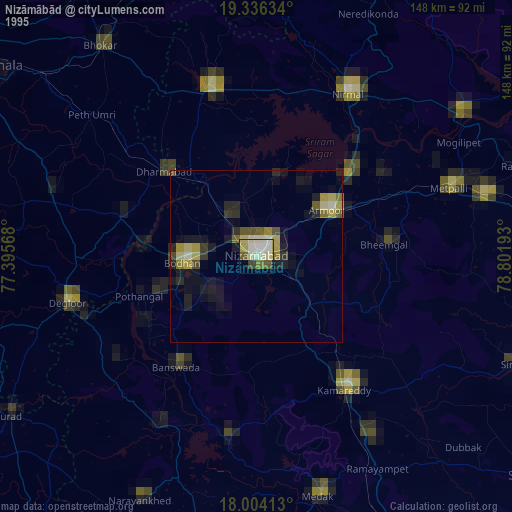
» NASA, Earths city lights 1995
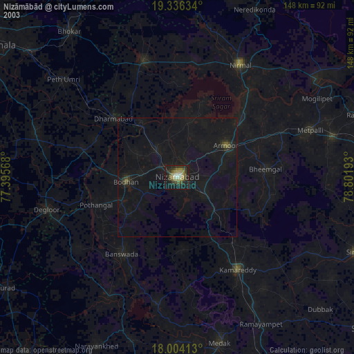
» NASA city lights 2003
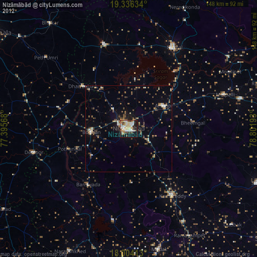
» Earth at Night: Flat Maps 2012, 2016