Bodhan night lights from space
Night Light of Bodhan (Telangana) from space (India) Src. Average luminocity for 10x10km area is 24.6963% and for 50x50km: 9.0297%.
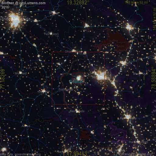
Analysis of Bodhan night lights 2016
Square area 10x10 km:
 3.93%
3.93%90-99
5.99%80-89
0.21%70-79
2.27%60-69
0.83%50-59
3.51%40-49
3.72%30-39
4.96%20-29
3.72%10-19
33.06%0-9
37.81%Square area 50x50 km:
1.03%90-99
1.19%80-89
0.68%70-79
0.71%60-69
0.84%50-59
1.63%40-49
1.95%30-39
1.9%20-29
2.92%10-19
4.64%0-9
82.5%Clear (daylight) street map image can be seen on geolist.org.
Map coordinates:
19° 19' 36.9" North, 77° 10' 57.7" East
18° 39' 43.5" North, 77° 53' 8.9" East
17° 59' 40.7" North, 78° 35' 20.2" East
Some cities around Bodhan sort by population:
• Nizāmābād
22.5 km =14 mi,  87°
87°
• Dīglūr
34.9 km =21.7 mi,  248°
248°
• Bhaisa
50.8 km =31.6 mi,  9°
9°
• Dharmābād
25.8 km =16 mi,  351°
351°
• Mukher
54.8 km =34.1 mi,  275°
275°
• Bānswāda
31.7 km =19.7 mi,  181°
181°
• Kondalwādi
20.2 km =12.6 mi,  323°
323°
• Biloli
21 km =13 mi,  306°
306°
1275391 (p: 73,938)
Sources (retrieved 2019-11-25):
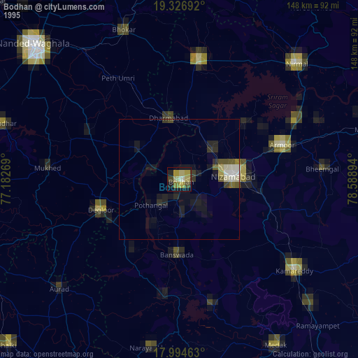
» NASA, Earths city lights 1995
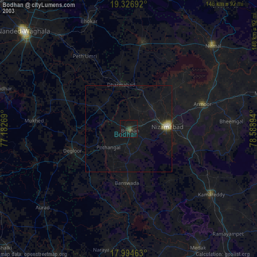
» NASA city lights 2003
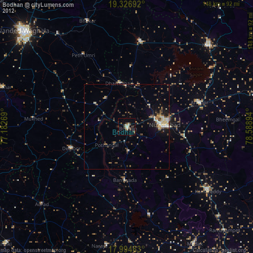
» Earth at Night: Flat Maps 2012, 2016