Bhaisa night lights from space
Night Light of Bhaisa (Telangana) from space (India) Src. Average luminocity for 10x10km area is 16.2381% and for 50x50km: 2.7314%.
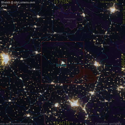
Analysis of Bhaisa night lights 2016
Square area 10x10 km:
 3.68%
3.68%90-99
4.11%80-89
0%70-79
1.52%60-69
0.65%50-59
1.73%40-49
0.65%30-39
2.38%20-29
2.38%10-19
3.9%0-9
79%Square area 50x50 km:
0.18%90-99
0.21%80-89
0.09%70-79
0.3%60-69
0.37%50-59
0.62%40-49
0.73%30-39
0.5%20-29
0.89%10-19
0.62%0-9
95.48%Clear (daylight) street map image can be seen on geolist.org.
Map coordinates:
19° 46' 33.1" North, 77° 15' 36.9" East
19° 6' 46.3" North, 77° 57' 48.1" East
18° 26' 49.8" North, 78° 39' 59.4" East
Some cities around Bhaisa sort by population:
• Nizāmābād
51.1 km =31.8 mi,  163°
163°
• Nirmal
40 km =24.9 mi,  92°
92°
• Bodhan
50.8 km =31.6 mi,  189°
189°
• Dharmābād
27.4 km =17 mi,  205°
205°
• Hadgāon
53.2 km =33.1 mi,  323°
323°
• Mudkhed
48.6 km =30.2 mi,  275°
275°
• Kondalwādi
39.6 km =24.6 mi, 210°
• Biloli
45.3 km =28.1 mi, 213°
1276249 (p: 46,120)
Sources (retrieved 2019-11-25):
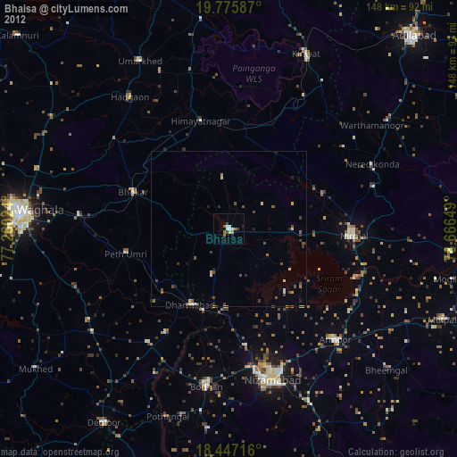
» Earth at Night: Flat Maps 2012, 2016