Dharmābād night lights from space
Night Light of Dharmābād (Maharashtra) from space (India) Src. Average luminocity for 10x10km area is 13.8896% and for 50x50km: 6.2335%.
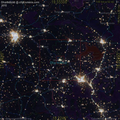
Analysis of Dharmābād night lights 2016
Square area 10x10 km:
 1.52%
1.52%90-99
1.95%80-89
0%70-79
2.81%60-69
2.81%50-59
2.38%40-49
1.3%30-39
1.73%20-29
2.81%10-19
0.87%0-9
81.82%Square area 50x50 km:
0.57%90-99
0.67%80-89
0.36%70-79
0.6%60-69
0.61%50-59
1.28%40-49
1.3%30-39
1.54%20-29
1.98%10-19
2.43%0-9
88.65%Clear (daylight) street map image can be seen on geolist.org.
Map coordinates:
19° 33' 18.3" North, 77° 8' 46.6" East
18° 53' 28.2" North, 77° 50' 57.8" East
18° 13' 28.6" North, 78° 33' 9.1" East
Some cities around Dharmābād sort by population:
• Nizāmābād
35.9 km =22.3 mi,  132°
132°
• Bodhan
25.8 km =16 mi,  171°
171°
• Dīglūr
47.7 km =29.6 mi,  216°
216°
• Bhaisa
27.4 km =17 mi,  25°
25°
• Mukher
54.7 km =34 mi,  247°
247°
• Mudkhed
46.9 km =29.1 mi,  309°
309°
• Kondalwādi
12.5 km =7.8 mi, 221°
• Biloli
18.5 km =11.5 mi,  225°
225°
1272857 (p: 32,351)
Sources (retrieved 2019-11-25):
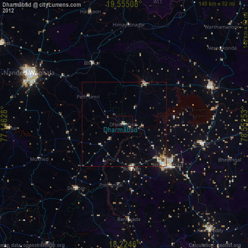
» Earth at Night: Flat Maps 2012, 2016