Nirmal night lights from space
Night Light of Nirmal (Telangana) from space (India) Src. Average luminocity for 10x10km area is 38.329% and for 50x50km: 5.4266%.
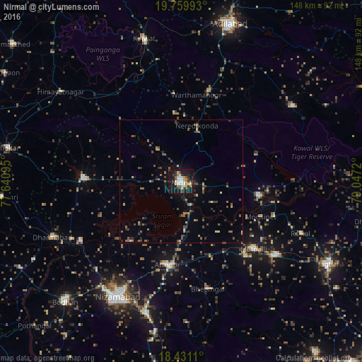
Analysis of Nirmal night lights 2016
Square area 10x10 km:
 6.71%
6.71%90-99
8.01%80-89
2.6%70-79
5.19%60-69
5.63%50-59
4.11%40-49
3.9%30-39
5.63%20-29
6.49%10-19
46.97%0-9
4.76%Square area 50x50 km:
0.26%90-99
0.49%80-89
0.42%70-79
0.6%60-69
0.8%50-59
1.3%40-49
1.14%30-39
1.07%20-29
1.35%10-19
3.19%0-9
89.38%Clear (daylight) street map image can be seen on geolist.org.
Map coordinates:
19° 45' 35.7" North, 77° 38' 27.4" East
19° 5' 48.7" North, 78° 20' 38.7" East
18° 25' 52" North, 79° 2' 49.9" East
Some cities around Nirmal sort by population:
• Nizāmābād
53.9 km =33.5 mi,  208°
208°
• Ādilābād
67 km =41.6 mi,  17°
17°
• Koratla
49.3 km =30.6 mi,  128°
128°
• Bhaisa
40 km =24.9 mi,  272°
272°
• Kyathampalle
66.4 km =41.3 mi, 16°
• Dharmābād
56.8 km =35.3 mi,  246°
246°
• Kinwat
60.7 km =37.7 mi,  345°
345°
• Dasnapur
64.4 km =40 mi, 15°
1261288 (p: 80,982)
Sources (retrieved 2019-11-25):
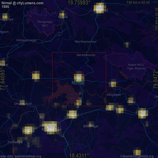
» NASA, Earths city lights 1995
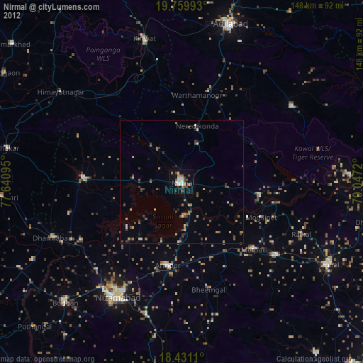
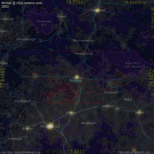
» NASA city lights 2003
» Earth at Night: Flat Maps 2012, 2016