Bānswāda night lights from space
Night Light of Bānswāda (Telangana) from space (India) Src. Average luminocity for 10x10km area is 11.8099% and for 50x50km: 3.2783%.
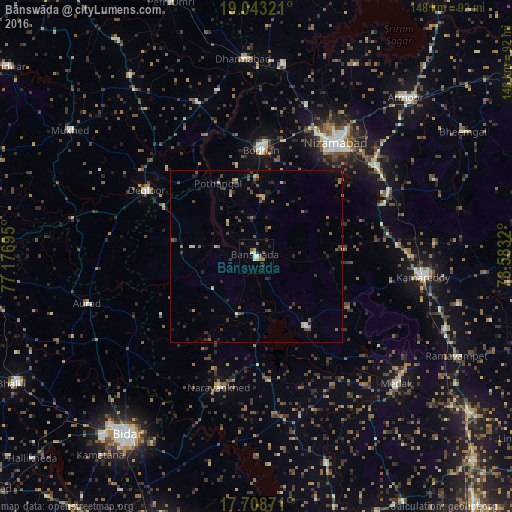
Analysis of Bānswāda night lights 2016
Square area 10x10 km:
 1.03%
1.03%90-99
2.27%80-89
2.07%70-79
0.41%60-69
1.65%50-59
0.83%40-49
2.89%30-39
1.24%20-29
2.48%10-19
0.83%0-9
84.3%Square area 50x50 km:
0.11%90-99
0.14%80-89
0.46%70-79
0.21%60-69
0.45%50-59
0.54%40-49
0.97%30-39
0.86%20-29
1.15%10-19
0.8%0-9
94.3%Clear (daylight) street map image can be seen on geolist.org.
Map coordinates:
19° 2' 35.6" North, 77° 10' 37" East
18° 22' 38.1" North, 77° 52' 48.3" East
17° 42' 31.4" North, 78° 34' 59.5" East
Some cities around Bānswāda sort by population:
• Nizāmābād
40 km =24.9 mi,  35°
35°
• Bodhan
31.7 km =19.7 mi,  1°
1°
• Kāmāreddi
49.1 km =30.5 mi,  97°
97°
• Dīglūr
37.2 km =23.1 mi,  300°
300°
• Medak
54.6 km =33.9 mi,  132°
132°
• Aurād
50.7 km =31.5 mi,  254°
254°
• Kondalwādi
49.2 km =30.6 mi,  346°
346°
• Biloli
47 km =29.2 mi,  339°
339°
1277216 (p: 22,665)
Sources (retrieved 2019-11-25):
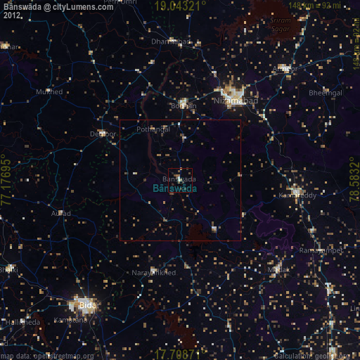
» Earth at Night: Flat Maps 2012, 2016