Nilanga night lights from space
Night Light of Nilanga (Maharashtra) from space (India) Src. Average luminocity for 10x10km area is 17.3853% and for 50x50km: 4.9042%.
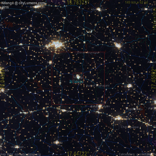
Analysis of Nilanga night lights 2016
Square area 10x10 km:
 3.68%
3.68%90-99
2.6%80-89
2.38%70-79
0%60-69
1.08%50-59
1.52%40-49
2.81%30-39
3.68%20-29
1.73%10-19
5.41%0-9
75.11%Square area 50x50 km:
0.14%90-99
0.18%80-89
0.37%70-79
0.57%60-69
0.85%50-59
1.1%40-49
1.16%30-39
1.32%20-29
1.25%10-19
1.65%0-9
91.42%Clear (daylight) street map image can be seen on geolist.org.
Map coordinates:
18° 47' 1.4" North, 76° 2' 58.8" East
18° 7' 0.3" North, 76° 45' 10" East
17° 26' 50" North, 77° 27' 21.3" East
Some cities around Nilanga sort by population:
• Latur
36.8 km =22.9 mi,  327°
327°
• Udgīr
49.2 km =30.6 mi,  51°
51°
• Basavakalyān
34.1 km =21.2 mi,  142°
142°
• Homnābād
55.1 km =34.2 mi,  134°
134°
• Bhālki
48.6 km =30.2 mi,  99°
99°
• Ausa
30.5 km =19 mi,  298°
298°
• Umarga
33.8 km =21 mi,  203°
203°
• Moram
47.2 km =29.3 mi,  219°
219°
1261396 (p: 34,491)
Sources (retrieved 2019-11-25):
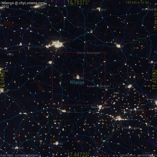
» Earth at Night: Flat Maps 2012, 2016