Udgīr night lights from space
Night Light of Udgīr (Maharashtra) from space (India) Src. Average luminocity for 10x10km area is 30.9669% and for 50x50km: 4.2747%.
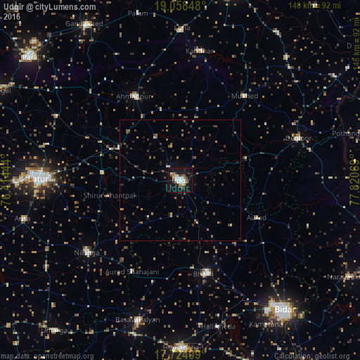
Analysis of Udgīr night lights 2016
Square area 10x10 km:
 5.37%
5.37%90-99
6.4%80-89
2.27%70-79
2.27%60-69
2.69%50-59
3.31%40-49
6.61%30-39
2.48%20-29
5.99%10-19
44.42%0-9
18.18%Square area 50x50 km:
0.21%90-99
0.39%80-89
0.25%70-79
0.34%60-69
0.55%50-59
0.91%40-49
1.1%30-39
0.93%20-29
1.61%10-19
2.47%0-9
91.24%Clear (daylight) street map image can be seen on geolist.org.
Map coordinates:
19° 3' 30.5" North, 76° 24' 52" East
18° 23' 33.3" North, 77° 7' 3.2" East
17° 43' 26.7" North, 77° 49' 14.5" East
Some cities around Udgīr sort by population:
• Latur
58 km =36 mi,  270°
270°
• Basavakalyān
60.3 km =37.5 mi,  197°
197°
• Dīglūr
51.4 km =31.9 mi,  70°
70°
• Ahmadpur
39.7 km =24.7 mi,  331°
331°
• Bhālki
39.9 km =24.8 mi,  166°
166°
• Nilanga
49.2 km =30.6 mi,  231°
231°
• Mukher
43.7 km =27.2 mi,  37°
37°
• Aurād
35.2 km =21.9 mi,  115°
115°
1253958 (p: 101,064)
Sources (retrieved 2019-11-25):
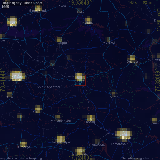
» NASA, Earths city lights 1995
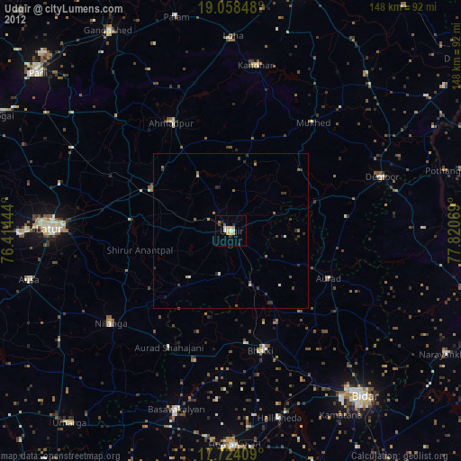
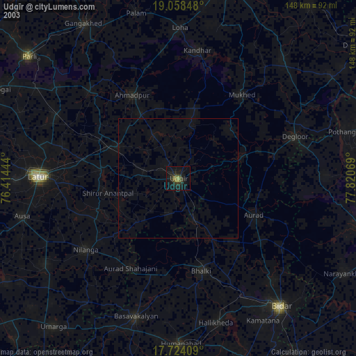
» NASA city lights 2003
» Earth at Night: Flat Maps 2012, 2016