Bhālki night lights from space
Night Light of Bhālki (Karnataka) from space (India) Src. Average luminocity for 10x10km area is 20.2229% and for 50x50km: 5.1264%.
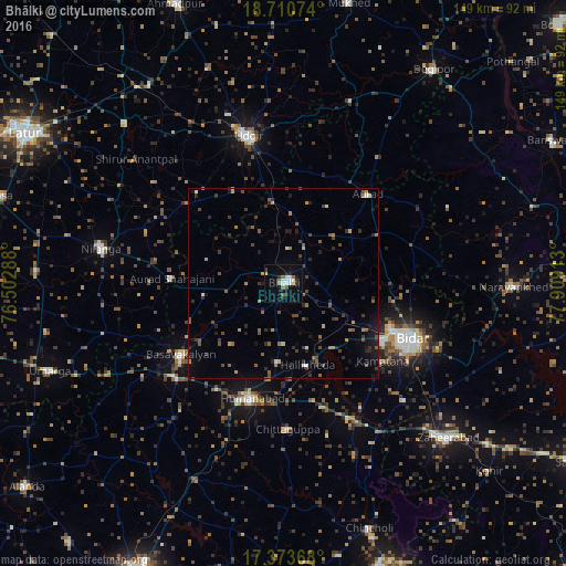
Analysis of Bhālki night lights 2016
Square area 10x10 km:
 4.11%
4.11%90-99
3.68%80-89
1.52%70-79
0.22%60-69
2.38%50-59
2.81%40-49
0.87%30-39
3.25%20-29
3.68%10-19
10.82%0-9
66.67%Square area 50x50 km:
0.2%90-99
0.39%80-89
0.23%70-79
0.57%60-69
0.61%50-59
1.16%40-49
0.98%30-39
1.16%20-29
1.64%10-19
2.73%0-9
90.33%Clear (daylight) street map image can be seen on geolist.org.
Map coordinates:
18° 42' 38.7" North, 76° 30' 10.4" East
18° 2' 36.5" North, 77° 12' 21.6" East
17° 22' 25.2" North, 77° 54' 32.9" East
Some cities around Bhālki sort by population:
• Bīdar
37.2 km =23.1 mi,  112°
112°
• Udgīr
39.9 km =24.8 mi,  346°
346°
• Basavakalyān
33 km =20.5 mi,  235°
235°
• Zahirābād
58.5 km =36.4 mi,  133°
133°
• Homnābād
31.5 km =19.6 mi,  195°
195°
• Nilanga
48.6 km =30.2 mi,  279°
279°
• Umarga
65.7 km =40.8 mi,  249°
249°
• Aurād
32.4 km =20.1 mi,  43°
43°
1276219 (p: 38,583)
Sources (retrieved 2019-11-25):
» Earth at Night: Flat Maps 2012, 2016