Umarga night lights from space
Night Light of Umarga (Maharashtra) from space (India) Src. Average luminocity for 10x10km area is 17.803% and for 50x50km: 4.6476%.
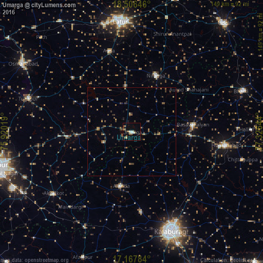
Analysis of Umarga night lights 2016
Square area 10x10 km:
 1.95%
1.95%90-99
1.95%80-89
3.9%70-79
1.73%60-69
1.95%50-59
3.03%40-49
1.08%30-39
1.73%20-29
1.73%10-19
5.41%0-9
75.54%Square area 50x50 km:
0.11%90-99
0.2%80-89
0.55%70-79
0.66%60-69
0.91%50-59
0.89%40-49
0.93%30-39
1.25%20-29
1.09%10-19
0.88%0-9
92.53%Clear (daylight) street map image can be seen on geolist.org.
Map coordinates:
18° 30' 23.3" North, 75° 55' 12.7" East
17° 50' 18.3" North, 76° 37' 23.9" East
17° 10' 4.2" North, 77° 19' 35.2" East
Some cities around Umarga sort by population:
• Basavakalyān
34.8 km =21.6 mi,  83°
83°
• Homnābād
53.7 km =33.4 mi,  98°
98°
• Aland
31 km =19.3 mi,  190°
190°
• Nilanga
33.8 km =21 mi,  23°
23°
• Ausa
47.3 km =29.4 mi,  343°
343°
• Moram
17.1 km =10.6 mi,  250°
250°
• Naldurg
36.2 km =22.5 mi,  266°
266°
• Maindargi
54.9 km =34.1 mi,  219°
219°
1253870 (p: 32,181)
Sources (retrieved 2019-11-25):
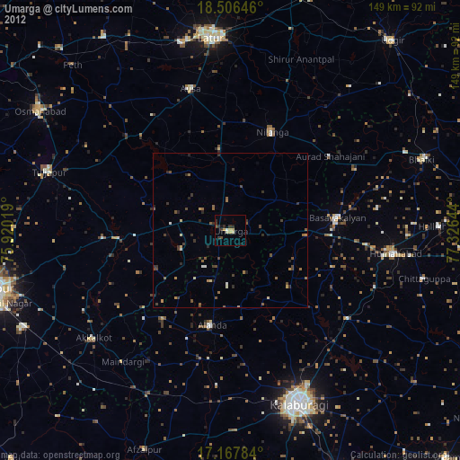
» Earth at Night: Flat Maps 2012, 2016