Nawanshahr night lights from space
Night Light of Nawanshahr (Punjab) from space (India) Src. Average luminocity for 10x10km area is 22.7564% and for 50x50km: 10.3007%.
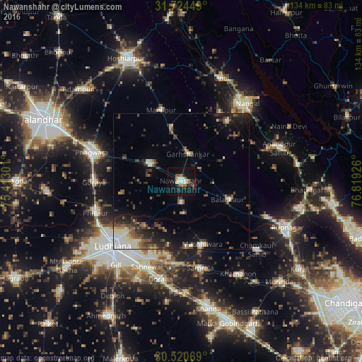
Analysis of Nawanshahr night lights 2016
Square area 10x10 km:
 2.38%
2.38%90-99
4.4%80-89
2.01%70-79
1.47%60-69
5.13%50-59
2.2%40-49
2.75%30-39
1.83%20-29
4.21%10-19
27.11%0-9
46.52%Square area 50x50 km:
1.11%90-99
1.63%80-89
0.93%70-79
0.71%60-69
1.13%50-59
1.57%40-49
1.99%30-39
2.29%20-29
3.43%10-19
5.82%0-9
79.38%Clear (daylight) street map image can be seen on geolist.org.
Map coordinates:
31° 43' 28.2" North, 75° 24' 46.8" East
31° 7' 28.2" North, 76° 6' 58.1" East
30° 31' 14.5" North, 76° 49' 9.3" East
Some cities around Nawanshahr sort by population:
• Phillaur
33.1 km =20.6 mi,  249°
249°
• Māchhīwāra
24.6 km =15.3 mi,  160°
160°
• Banga
13.6 km =8.5 mi,  301°
301°
• Bālāchor
19 km =11.8 mi,  111°
111°
• Samrāla
32.9 km =20.4 mi,  167°
167°
• Garhshankar
10.4 km =6.5 mi,  13°
13°
• Rāhon
8 km =5 mi,  177°
177°
• Santokhgarh
31.7 km =19.7 mi,  37°
37°
1261598 (p: 31,121)
Sources (retrieved 2019-11-25):
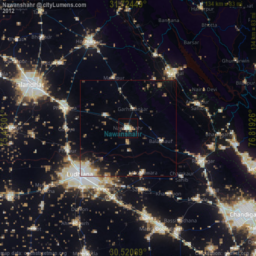
» Earth at Night: Flat Maps 2012, 2016