Rāhon night lights from space
Night Light of Rāhon (Punjab) from space (India) Src. Average luminocity for 10x10km area is 9.8718% and for 50x50km: 16.4746%.
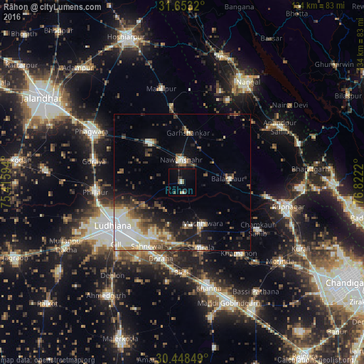
Analysis of Rāhon night lights 2016
Square area 10x10 km:
 0.73%
0.73%90-99
1.47%80-89
0%70-79
0.73%60-69
1.1%50-59
1.28%40-49
2.01%30-39
2.38%20-29
0.55%10-19
7.69%0-9
82.05%Square area 50x50 km:
2.96%90-99
3.39%80-89
1.89%70-79
1.31%60-69
2%50-59
2.11%40-49
2.35%30-39
2.69%20-29
3.93%10-19
6.75%0-9
70.62%Clear (daylight) street map image can be seen on geolist.org.
Map coordinates:
31° 39' 11.5" North, 75° 24' 57.4" East
31° 3' 9.9" North, 76° 7' 8.7" East
30° 26' 54.6" North, 76° 49' 19.9" East
Some cities around Rāhon sort by population:
• Ludhiāna
29.7 km =18.5 mi,  238°
238°
• Nawanshahr
8 km =5 mi,  357°
357°
• Dorāha
29.6 km =18.4 mi,  197°
197°
• Māchhīwāra
17.1 km =10.6 mi,  153°
153°
• Banga
19.2 km =11.9 mi,  321°
321°
• Bālāchor
17.4 km =10.8 mi,  87°
87°
• Samrāla
25.1 km =15.6 mi,  163°
163°
• Garhshankar
18.2 km =11.3 mi,  6°
6°
1259022 (p: 12,485)
Sources (retrieved 2019-11-25):
» Earth at Night: Flat Maps 2012, 2016