Narsīpatnam night lights from space
Night Light of Narsīpatnam (Andhra Pradesh) from space (India) Src. Average luminocity for 10x10km area is 10.9442% and for 50x50km: 2.357%.
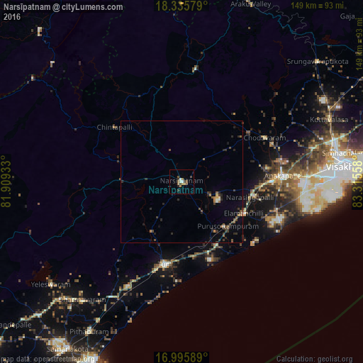
Analysis of Narsīpatnam night lights 2016
Square area 10x10 km:
 0.21%
0.21%90-99
2.27%80-89
0%70-79
2.89%60-69
0.83%50-59
3.72%40-49
1.65%30-39
2.07%20-29
1.24%10-19
0.41%0-9
84.71%Square area 50x50 km:
0.04%90-99
0.23%80-89
0.04%70-79
0.24%60-69
0.4%50-59
0.49%40-49
0.57%30-39
0.6%20-29
0.89%10-19
0.4%0-9
96.11%Clear (daylight) street map image can be seen on geolist.org.
Map coordinates:
18° 20' 8.8" North, 81° 54' 33.6" East
17° 40' 1.5" North, 82° 36' 44.8" East
16° 59' 45.2" North, 83° 18' 56.1" East
Some cities around Narsīpatnam sort by population:
• Visakhapatnam
62.4 km =38.8 mi,  88°
88°
• Gajuwaka
64.1 km =39.8 mi, 86°
• Anakāpalle
41.6 km =25.8 mi, 86°
• Tuni
35 km =21.7 mi,  191°
191°
• Chodavaram
38.6 km =24 mi,  62°
62°
• Elamanchili
29.1 km =18.1 mi,  116°
116°
• Mādugula
35.1 km =21.8 mi,  37°
37°
• Etikoppāka
22.6 km =14 mi,  145°
145°
1261748 (p: 33,755)
Sources (retrieved 2019-11-25):
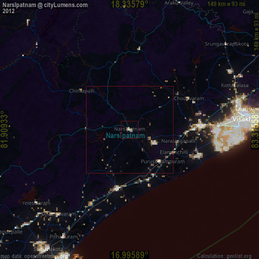
» Earth at Night: Flat Maps 2012, 2016