Leteri night lights from space
Night Light of Leteri (Madhya Pradesh) from space (India) Src. Average luminocity for 10x10km area is 8.3144% and for 50x50km: 1.6044%.
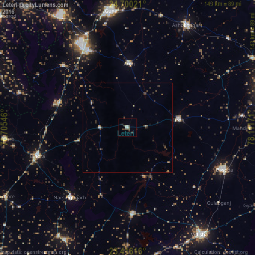
Analysis of Leteri night lights 2016
Square area 10x10 km:
 1.52%
1.52%90-99
1.33%80-89
0.19%70-79
0%60-69
0%50-59
1.33%40-49
4.92%30-39
1.33%20-29
1.33%10-19
0.57%0-9
87.5%Square area 50x50 km:
0.12%90-99
0.13%80-89
0.04%70-79
0.13%60-69
0.13%50-59
0.31%40-49
0.64%30-39
0.67%20-29
0.49%10-19
0.36%0-9
96.99%Clear (daylight) street map image can be seen on geolist.org.
Map coordinates:
24° 42' 0.8" North, 76° 42' 19.7" East
24° 3' 35.2" North, 77° 24' 30.9" East
23° 24' 58.2" North, 78° 6' 42.2" East
Some cities around Leteri sort by population:
• Bāsoda
58.4 km =36.3 mi,  113°
113°
• Rāghogarh
47.7 km =29.6 mi,  333°
333°
• Sironj
29 km =18 mi,  80°
80°
• Biaora
52.9 km =32.9 mi,  252°
252°
• Narsinghgarh
50.6 km =31.4 mi,  219°
219°
• Berasia
47.7 km =29.6 mi,  176°
176°
• Āron
35.7 km =22.2 mi,  1°
1°
• Kumbhrāj
50.5 km =31.4 mi,  313°
313°
1264949 (p: 15,519)
Sources (retrieved 2019-11-25):
» Earth at Night: Flat Maps 2012, 2016