Berasia night lights from space
Night Light of Berasia (Madhya Pradesh) from space (India) Src. Average luminocity for 10x10km area is 16.7917% and for 50x50km: 4.6639%.
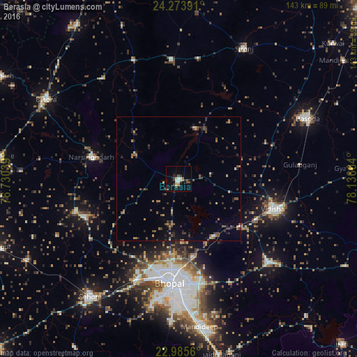
Analysis of Berasia night lights 2016
Square area 10x10 km:
 1.19%
1.19%90-99
3.57%80-89
1.19%70-79
2.78%60-69
0%50-59
3.57%40-49
2.38%30-39
3.17%20-29
2.38%10-19
6.55%0-9
73.21%Square area 50x50 km:
0.1%90-99
0.33%80-89
0.26%70-79
0.58%60-69
0.57%50-59
1.2%40-49
0.97%30-39
1.32%20-29
1.42%10-19
1.7%0-9
91.54%Clear (daylight) street map image can be seen on geolist.org.
Map coordinates:
24° 16' 26.1" North, 76° 43' 49.4" East
23° 37' 52.8" North, 77° 26' 0.6" East
22° 59' 8.2" North, 78° 8' 11.9" East
Some cities around Berasia sort by population:
• Bhopal
42 km =26.1 mi,  184°
184°
• Vidisha
40.2 km =25 mi,  106°
106°
• Bāsoda
56.7 km =35.2 mi,  64°
64°
• Sironj
58.6 km =36.4 mi,  26°
26°
• Raisen
48.8 km =30.3 mi,  133°
133°
• Narsinghgarh
35.7 km =22.2 mi,  283°
283°
• Leteri
47.7 km =29.6 mi,  356°
356°
• Sānchi
34.9 km =21.7 mi,  117°
117°
1276449 (p: 27,091)
Sources (retrieved 2019-11-25):
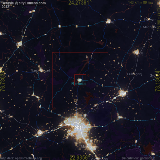
» Earth at Night: Flat Maps 2012, 2016