Shujālpur night lights from space
Night Light of Shujālpur (Madhya Pradesh) from space (India) Src. Average luminocity for 10x10km area is 31.2898% and for 50x50km: 8.0091%.
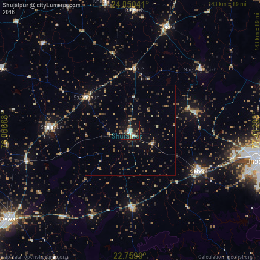
Analysis of Shujālpur night lights 2016
Square area 10x10 km:
 3.6%
3.6%90-99
7.39%80-89
0.76%70-79
4.36%60-69
2.65%50-59
4.92%40-49
2.84%30-39
8.14%20-29
4.92%10-19
47.35%0-9
13.07%Square area 50x50 km:
0.36%90-99
0.7%80-89
0.57%70-79
0.88%60-69
1.1%50-59
1.5%40-49
1.73%30-39
2.22%20-29
1.95%10-19
4.55%0-9
84.44%Clear (daylight) street map image can be seen on geolist.org.
Map coordinates:
24° 3' 1.5" North, 76° 0' 24" East
23° 24' 24.2" North, 76° 42' 35.3" East
22° 45' 35.6" North, 77° 24' 46.5" East
Some cities around Shujālpur sort by population:
• Sehore
44.5 km =27.7 mi,  121°
121°
• Shājāpur
44.1 km =27.4 mi,  272°
272°
• Ashta
43.3 km =26.9 mi,  178°
178°
• Sārangpur
30 km =18.6 mi,  306°
306°
• Akodia
11.7 km =7.3 mi,  255°
255°
• Khujner
43.2 km =26.8 mi,  347°
347°
• Talen
18.2 km =11.3 mi,  5°
5°
• Iklehra
43.6 km =27.1 mi,  228°
228°
1256418 (p: 47,058)
Sources (retrieved 2019-11-25):
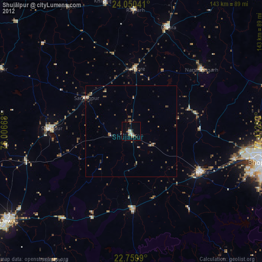
» Earth at Night: Flat Maps 2012, 2016