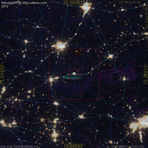
Nāndgaon night lights from space
Night Light of Nāndgaon (Maharashtra) from space (India) Src. Average luminocity for 10x10km area is 6.9782% and for 50x50km: 5.8954%.
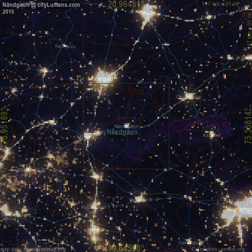
Analysis of Nāndgaon night lights 2016
Square area 10x10 km:
 0%
0%90-99
2.38%80-89
0%70-79
0.79%60-69
0.99%50-59
1.39%40-49
2.38%30-39
0%20-29
1.39%10-19
1.79%0-9
88.89%Square area 50x50 km:
0.11%90-99
0.96%80-89
0.47%70-79
0.41%60-69
0.79%50-59
1.19%40-49
1.46%30-39
1.42%20-29
2.26%10-19
4.5%0-9
86.42%Clear (daylight) street map image can be seen on geolist.org.
Map coordinates:
20° 57' 53.3" North, 73° 57' 6.8" East
20° 18' 24.5" North, 74° 39' 18" East
19° 38' 45.5" North, 75° 21' 29.3" East
Some cities around Nāndgaon sort by population:
• Mālegaon
29.8 km =18.5 mi,  335°
335°
• Chālisgaon
41.2 km =25.6 mi,  65°
65°
• Manmād
23.4 km =14.5 mi,  255°
255°
• Yeola
34.1 km =21.2 mi,  210°
210°
• Kannad
50.7 km =31.5 mi,  96°
96°
• Vaijāpur
42.9 km =26.7 mi,  169°
169°
• Chāndor
42.9 km =26.7 mi,  273°
273°
• Lāsalgaon
47 km =29.2 mi,  247°
247°
1261971 (p: 24,209)
Sources (retrieved 2019-11-25):
» Earth at Night: Flat Maps 2012, 2016