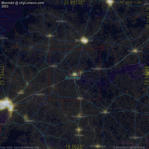
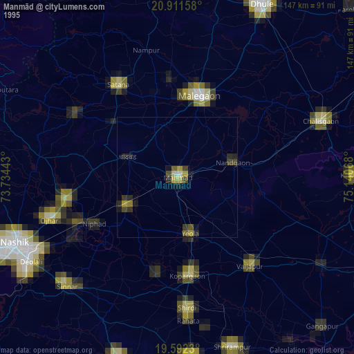
Manmād night lights from space
Night Light of Manmād (Maharashtra) from space (India) Src. Average luminocity for 10x10km area is 36.0377% and for 50x50km: 9.1116%.

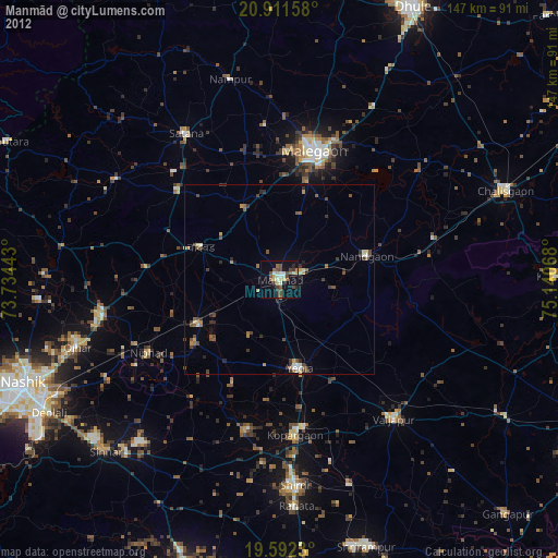
Analysis of Manmād night lights 2016
Square area 10x10 km:
 1.79%
1.79%90-99
10.91%80-89
4.37%70-79
0.99%60-69
4.76%50-59
2.98%40-49
6.75%30-39
7.74%20-29
12.1%10-19
38.89%0-9
8.73%Square area 50x50 km:
0.12%90-99
1.1%80-89
0.55%70-79
0.43%60-69
1.04%50-59
1.63%40-49
2.4%30-39
2.46%20-29
4.54%10-19
8.53%0-9
77.21%Clear (daylight) street map image can be seen on geolist.org.
Map coordinates:
20° 54' 41.7" North, 73° 44' 3.9" East
20° 15' 12" North, 74° 26' 15.2" East
19° 35' 32.3" North, 75° 8' 26.4" East
Some cities around Manmād sort by population:
• Mālegaon
34.5 km =21.4 mi,  17°
17°
• Kopargaon
41.4 km =25.7 mi,  174°
174°
• Yeola
24.1 km =15 mi, 166°
• Vaijāpur
47.3 km =29.4 mi,  140°
140°
• Satānā
45.2 km =28.1 mi,  327°
327°
• Nāndgaon
23.4 km =14.5 mi,  75°
75°
• Chāndor
21.9 km =13.6 mi,  293°
293°
• Lāsalgaon
24.1 km =15 mi,  239°
239°
1263664 (p: 76,722)
Sources (retrieved 2019-11-25):
» NASA, Earths city lights 1995
» NASA city lights 2003
» Earth at Night: Flat Maps 2012, 2016