Vaijāpur night lights from space
Night Light of Vaijāpur (Maharashtra) from space (India) Src. Average luminocity for 10x10km area is 27.8528% and for 50x50km: 5.8403%.
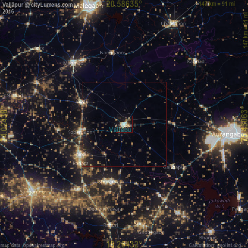
Analysis of Vaijāpur night lights 2016
Square area 10x10 km:
 1.95%
1.95%90-99
5.63%80-89
3.9%70-79
3.03%60-69
4.11%50-59
2.6%40-49
3.9%30-39
4.98%20-29
4.98%10-19
30.74%0-9
34.2%Square area 50x50 km:
0.08%90-99
0.44%80-89
0.46%70-79
0.53%60-69
0.72%50-59
1.16%40-49
1.18%30-39
1.65%20-29
2.66%10-19
5.29%0-9
85.82%Clear (daylight) street map image can be seen on geolist.org.
Map coordinates:
20° 35' 10.9" North, 74° 1' 27.8" East
19° 55' 36.2" North, 74° 43' 39" East
19° 15' 51.6" North, 75° 25' 50.3" East
Some cities around Vaijāpur sort by population:
• Manmād
47.3 km =29.4 mi,  320°
320°
• Kopargaon
26.7 km =16.6 mi,  259°
259°
• Yeola
28 km =17.4 mi,  297°
297°
• Shirdi
31.7 km =19.7 mi,  235°
235°
• Nāndgaon
42.9 km =26.7 mi,  349°
349°
• Gangāpur
39.1 km =24.3 mi,  130°
130°
• Khuldābād
49.4 km =30.7 mi,  79°
79°
• Daulatābād
51.6 km =32.1 mi,  88°
88°
1253545 (p: 40,043)
Sources (retrieved 2019-11-25):
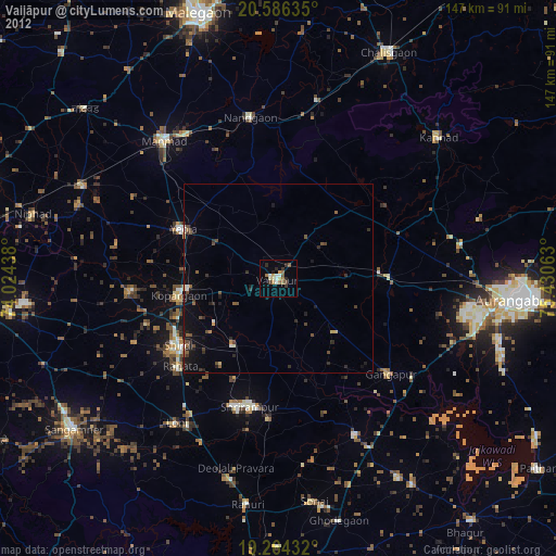
» Earth at Night: Flat Maps 2012, 2016