Murwāra night lights from space
Night Light of Murwāra (Madhya Pradesh) from space (India) Src. Average luminocity for 10x10km area is 77.4444% and for 50x50km: 14.4886%.
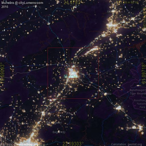
Analysis of Murwāra night lights 2016
Square area 10x10 km:
 27.18%
90-99
24.8%80-89
6.35%70-79
4.56%60-69
7.34%50-59
9.33%40-49
7.74%30-39
7.94%20-29
4.76%10-19
0%0-9
0%Square area 50x50 km:
1.69%90-99
1.94%80-89
1.03%70-79
1.09%60-69
1.56%50-59
2.36%40-49
3.12%30-39
3.65%20-29
5.49%10-19
11.24%0-9
66.83%Clear (daylight) street map image can be seen on geolist.org.
Map coordinates:
24° 28' 45.5" North, 79° 41' 27.3" East
23° 50' 15.9" North, 80° 23' 38.6" East
23° 11' 34.9" North, 81° 5' 49.8" East
Some cities around Murwāra sort by population:
• Sihorā
48.9 km =30.4 mi,  217°
217°
• Maihar
60.4 km =37.5 mi,  38°
38°
• Umaria
57 km =35.4 mi,  127°
127°
• Panāgar
73.7 km =45.8 mi,  213°
213°
• Chandia
37.9 km =23.5 mi,  122°
122°
• Pawai
53.2 km =33.1 mi,  333°
333°
• Barhi
43.4 km =27 mi,  80°
80°
• Majholi
60.8 km =37.8 mi,  231°
231°
1262395 (p: 195,856)
Sources (retrieved 2019-11-25):
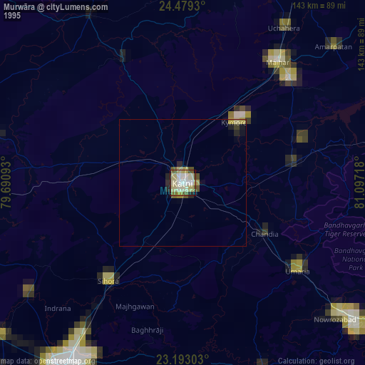
» NASA, Earths city lights 1995
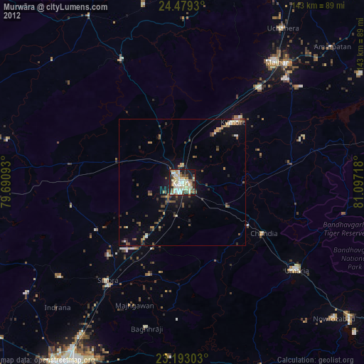
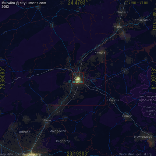
» NASA city lights 2003
» Earth at Night: Flat Maps 2012, 2016