Sihorā night lights from space
Night Light of Sihorā (Madhya Pradesh) from space (India) Src. Average luminocity for 10x10km area is 29.483% and for 50x50km: 14.304%.
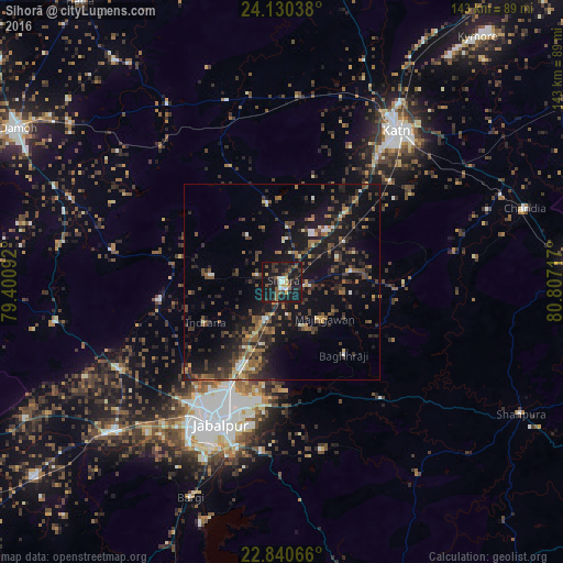
Analysis of Sihorā night lights 2016
Square area 10x10 km:
 3.03%
3.03%90-99
3.03%80-89
0.95%70-79
3.6%60-69
2.08%50-59
6.63%40-49
3.6%30-39
10.04%20-29
10.04%10-19
52.46%0-9
4.55%Square area 50x50 km:
0.56%90-99
1.26%80-89
0.89%70-79
1.07%60-69
1.79%50-59
3.16%40-49
3.22%30-39
4.39%20-29
5.34%10-19
16.35%0-9
61.97%Clear (daylight) street map image can be seen on geolist.org.
Map coordinates:
24° 7' 49.4" North, 79° 24' 3.3" East
23° 29' 13.6" North, 80° 6' 14.5" East
22° 50' 26.4" North, 80° 48' 25.8" East
Some cities around Sihorā sort by population:
• Jabalpur
38.9 km =24.2 mi,  203°
203°
• Panāgar
25 km =15.5 mi,  206°
206°
• Kaimori
38.4 km =23.9 mi,  252°
252°
• Katangi
31.8 km =19.8 mi,  260°
260°
• Khamaria
37 km =23 mi,  218°
218°
• Pātan
47.8 km =29.7 mi,  242°
242°
• Barela
43.7 km =27.2 mi,  187°
187°
• Majholi
18.4 km =11.4 mi,  274°
274°
1256340 (p: 41,192)
Sources (retrieved 2019-11-25):
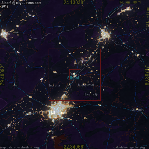
» Earth at Night: Flat Maps 2012, 2016