Panāgar night lights from space
Night Light of Panāgar (Madhya Pradesh) from space (India) Src. Average luminocity for 10x10km area is 55.5701% and for 50x50km: 28.1022%.
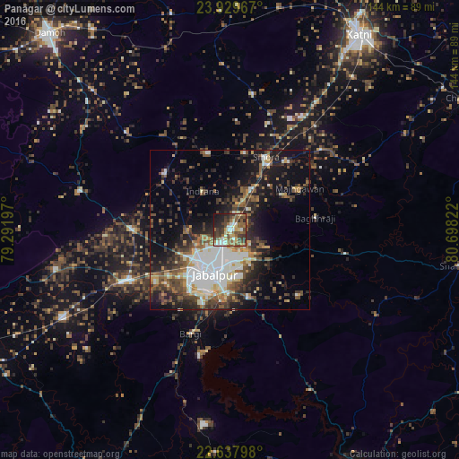
Analysis of Panāgar night lights 2016
Square area 10x10 km:
 6.63%
6.63%90-99
10.23%80-89
6.25%70-79
6.63%60-69
11.55%50-59
15.15%40-49
10.42%30-39
14.58%20-29
9.47%10-19
8.33%0-9
0.76%Square area 50x50 km:
6.09%90-99
4.57%80-89
2.04%70-79
2.49%60-69
3.17%50-59
5%40-49
5.03%30-39
5.39%20-29
7.82%10-19
13.06%0-9
45.35%Clear (daylight) street map image can be seen on geolist.org.
Map coordinates:
23° 55' 46.8" North, 79° 17' 31.1" East
23° 17' 7.4" North, 79° 59' 42.3" East
22° 38' 16.7" North, 80° 41' 53.6" East
Some cities around Panāgar sort by population:
• Jabalpur
13.9 km =8.6 mi,  199°
199°
• Sihorā
25 km =15.5 mi,  26°
26°
• Kaimori
27.9 km =17.3 mi,  293°
293°
• Katangi
26.7 km =16.6 mi,  310°
310°
• Khamaria
13.5 km =8.4 mi,  240°
240°
• Pātan
31.2 km =19.4 mi,  270°
270°
• Barela
21.7 km =13.5 mi,  164°
164°
• Majholi
25.1 km =15.6 mi,  343°
343°
1260612 (p: 26,619)
Sources (retrieved 2019-11-25):
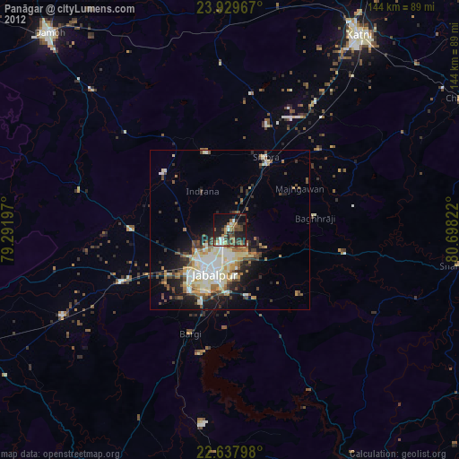
» Earth at Night: Flat Maps 2012, 2016