Maihar night lights from space
Night Light of Maihar (Madhya Pradesh) from space (India) Src. Average luminocity for 10x10km area is 65.7008% and for 50x50km: 16.7456%.
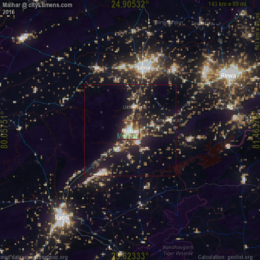
Analysis of Maihar night lights 2016
Square area 10x10 km:
 11.74%
90-99
14.02%80-89
11.74%70-79
8.9%60-69
12.12%50-59
10.61%40-49
11.74%30-39
6.44%20-29
10.04%10-19
2.65%0-9
0%Square area 50x50 km:
1.44%90-99
1.84%80-89
1.7%70-79
1.33%60-69
2.28%50-59
3.08%40-49
3.47%30-39
3.49%20-29
6.91%10-19
16.75%0-9
57.7%Clear (daylight) street map image can be seen on geolist.org.
Map coordinates:
24° 54' 19.2" North, 80° 3' 27" East
24° 15' 57.4" North, 80° 45' 38.3" East
23° 37' 24" North, 81° 27' 49.5" East
Some cities around Maihar sort by population:
• Satna
35.3 km =21.9 mi,  11°
11°
• Nāgod
38 km =23.6 mi,  332°
332°
• Amarpātan
22.6 km =14 mi,  76°
76°
• Barhi
40.7 km =25.3 mi,  172°
172°
• Govindgarh
55.7 km =34.6 mi, 77°
• Kothi
54.1 km =33.6 mi,  1°
1°
• Kotār
53 km =32.9 mi,  24°
24°
• Madhogarh
36.5 km =22.7 mi, 24°
1264317 (p: 37,913)
Sources (retrieved 2019-11-25):
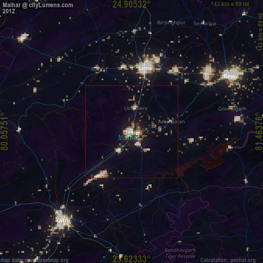
» Earth at Night: Flat Maps 2012, 2016