Muktsar night lights from space
Night Light of Muktsar (Punjab) from space (India) Src. Average luminocity for 10x10km area is 44.0678% and for 50x50km: 12.1133%.
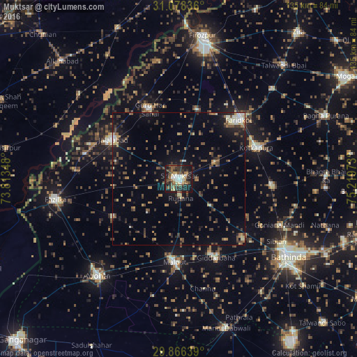
Analysis of Muktsar night lights 2016
Square area 10x10 km:
 5.31%
5.31%90-99
7.51%80-89
5.86%70-79
2.75%60-69
6.23%50-59
10.26%40-49
7.51%30-39
14.29%20-29
13.55%10-19
26.19%0-9
0.55%Square area 50x50 km:
0.5%90-99
1.31%80-89
1.02%70-79
1.01%60-69
1.61%50-59
2.36%40-49
3.04%30-39
2.93%20-29
2.96%10-19
7.85%0-9
75.4%Clear (daylight) street map image can be seen on geolist.org.
Map coordinates:
31° 4' 42.1" North, 73° 48' 48.5" East
30° 28' 27.3" North, 74° 30' 59.8" East
29° 51' 59" North, 75° 13' 11" East
Some cities around Muktsar sort by population:
• Kotkapura
32.6 km =20.3 mi,  68°
68°
• Farīdkot
31.9 km =19.8 mi,  45°
45°
• Malaut
29.4 km =18.3 mi,  186°
186°
• Fāzilka
47.5 km =29.5 mi,  260°
260°
• Giddarbāha
33.8 km =21 mi,  154°
154°
• Jaito
36.1 km =22.4 mi,  94°
94°
• Jalālābād
28.8 km =17.9 mi,  300°
300°
• Guru Har Sahāi
28.2 km =17.5 mi,  337°
337°
1262578 (p: 89,833)
Sources (retrieved 2019-11-25):
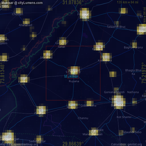
» NASA, Earths city lights 1995
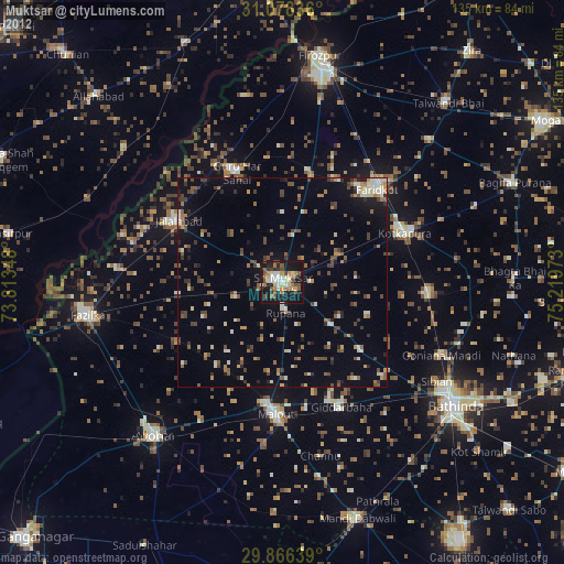
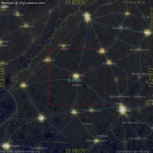
» NASA city lights 2003
» Earth at Night: Flat Maps 2012, 2016