Giddarbāha night lights from space
Night Light of Giddarbāha (Punjab) from space (India) Src. Average luminocity for 10x10km area is 21.1993% and for 50x50km: 12.8202%.
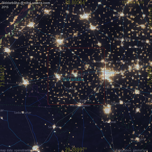
Analysis of Giddarbāha night lights 2016
Square area 10x10 km:
 0.35%
0.35%90-99
4.02%80-89
1.92%70-79
2.97%60-69
1.57%50-59
4.72%40-49
5.07%30-39
0.87%20-29
3.85%10-19
26.92%0-9
47.73%Square area 50x50 km:
0.24%90-99
0.91%80-89
1.04%70-79
1.32%60-69
1.75%50-59
2.88%40-49
3.4%30-39
2.81%20-29
3.59%10-19
8.33%0-9
73.74%Clear (daylight) street map image can be seen on geolist.org.
Map coordinates:
30° 48' 19.2" North, 73° 57' 47.3" East
30° 11' 58.3" North, 74° 39' 58.6" East
29° 35' 23.9" North, 75° 22' 9.8" East
Some cities around Giddarbāha sort by population:
• Bathinda
26.2 km =16.3 mi,  88°
88°
• Abohar
45.7 km =28.4 mi,  262°
262°
• Muktsar
33.8 km =21 mi,  334°
334°
• Kotkapura
45.4 km =28.2 mi,  20°
20°
• Malaut
17.8 km =11.1 mi,  274°
274°
• Dabwāli
28.7 km =17.8 mi,  166°
166°
• Sangariā
48.5 km =30.1 mi,  203°
203°
• Jaito
35.4 km =22 mi,  37°
37°
1271212 (p: 39,243)
Sources (retrieved 2019-11-25):
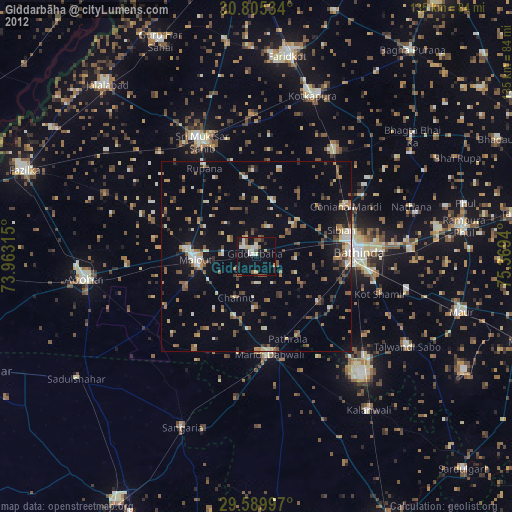
» Earth at Night: Flat Maps 2012, 2016