Jalālābād night lights from space
Night Light of Jalālābād (Punjab) from space (India) Src. Average luminocity for 10x10km area is 36.035% and for 50x50km: 14.4069%.
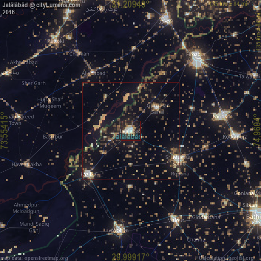
Analysis of Jalālābād night lights 2016
Square area 10x10 km:
 2.8%
2.8%90-99
8.04%80-89
5.07%70-79
4.37%60-69
1.75%50-59
2.97%40-49
6.29%30-39
6.12%20-29
20.1%10-19
34.62%0-9
7.87%Square area 50x50 km:
0.54%90-99
1.35%80-89
1.27%70-79
1.76%60-69
1.65%50-59
2.45%40-49
3.51%30-39
3.34%20-29
4.28%10-19
13.65%0-9
66.21%Clear (daylight) street map image can be seen on geolist.org.
Map coordinates:
31° 12' 34.2" North, 73° 33' 14.9" East
30° 36' 22.4" North, 74° 15' 26.2" East
29° 59' 57" North, 74° 57' 37.4" East
Some cities around Jalālābād sort by population:
• Muktsar
28.8 km =17.9 mi,  120°
120°
• Farīdkot
48.3 km =30 mi,  81°
81°
• Fāzilka
31.6 km =19.6 mi,  224°
224°
• Hujra Shah Muqim, PK
44.2 km =27.5 mi,  289°
289°
• Chunian, PK
48 km =29.8 mi,  326°
326°
• Basirpur, PK
40.1 km =24.9 mi,  265°
265°
• Kanganpur, PK
21.8 km =13.5 mi,  323°
323°
• Guru Har Sahāi
18.1 km =11.2 mi,  50°
50°
1269445 (p: 29,824)
Sources (retrieved 2019-11-25):
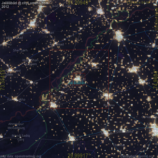
» Earth at Night: Flat Maps 2012, 2016