Kotkapura night lights from space
Night Light of Kotkapura (Punjab) from space (India) Src. Average luminocity for 10x10km area is 30.6685% and for 50x50km: 11.4895%.
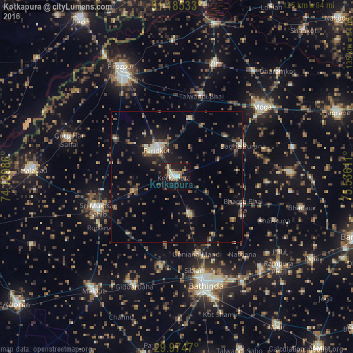
Analysis of Kotkapura night lights 2016
Square area 10x10 km:
 1.83%
1.83%90-99
7.69%80-89
3.11%70-79
2.56%60-69
5.86%50-59
3.11%40-49
6.96%30-39
1.47%20-29
3.85%10-19
40.11%0-9
23.44%Square area 50x50 km:
0.39%90-99
1.46%80-89
0.83%70-79
0.74%60-69
1.38%50-59
2.2%40-49
2.94%30-39
2.64%20-29
3.05%10-19
7.91%0-9
76.46%Clear (daylight) street map image can be seen on geolist.org.
Map coordinates:
31° 11' 7.2" North, 74° 7' 47.5" East
30° 34' 54.8" North, 74° 49' 58.7" East
29° 58' 28.9" North, 75° 32' 10" East
Some cities around Kotkapura sort by population:
• Bathinda
42.9 km =26.7 mi,  166°
166°
• Moga
41.2 km =25.6 mi,  51°
51°
• Muktsar
32.6 km =20.3 mi,  248°
248°
• Farīdkot
12.6 km =7.8 mi,  324°
324°
• Jaito
15.6 km =9.7 mi,  158°
158°
• Bāgha Purāna
28 km =17.4 mi,  65°
65°
• Talwandi Bhai
31.8 km =19.8 mi,  16°
16°
• Guru Har Sahāi
43.4 km =27 mi,  288°
288°
7279734 (p: 80,741)
Sources (retrieved 2019-11-25):
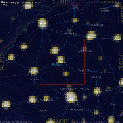
» NASA, Earths city lights 1995
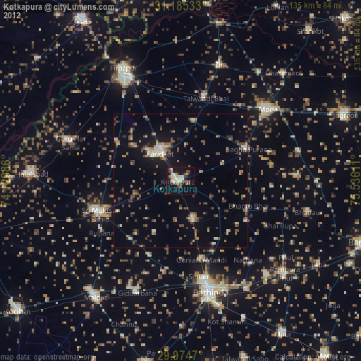
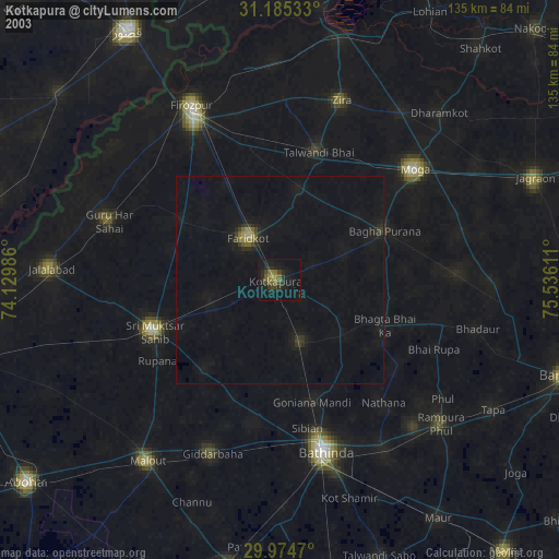
» NASA city lights 2003
» Earth at Night: Flat Maps 2012, 2016