Farīdkot night lights from space
Night Light of Farīdkot (Punjab) from space (India) Src. Average luminocity for 10x10km area is 46.951% and for 50x50km: 12.1158%.
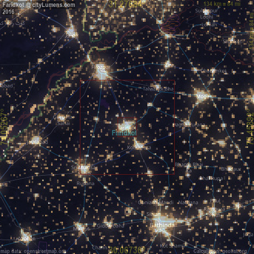
Analysis of Farīdkot night lights 2016
Square area 10x10 km:
 5.24%
5.24%90-99
14.16%80-89
6.99%70-79
2.45%60-69
5.07%50-59
4.9%40-49
6.99%30-39
8.04%20-29
18.01%10-19
27.97%0-9
0.17%Square area 50x50 km:
0.62%90-99
1.57%80-89
0.92%70-79
0.9%60-69
1.43%50-59
2.29%40-49
2.78%30-39
2.76%20-29
3.82%10-19
9.04%0-9
73.88%Clear (daylight) street map image can be seen on geolist.org.
Map coordinates:
31° 16' 36.6" North, 74° 3' 9.6" East
30° 40' 26.4" North, 74° 45' 20.8" East
30° 4' 2.5" North, 75° 27' 32.1" East
Some cities around Farīdkot sort by population:
• Ferozepore
31.1 km =19.3 mi,  334°
334°
• Muktsar
31.9 km =19.8 mi,  225°
225°
• Kotkapura
12.6 km =7.8 mi,  144°
144°
• Jaito
28 km =17.4 mi,  152°
152°
• Zira
39.7 km =24.7 mi,  34°
34°
• Bāgha Purāna
32.8 km =20.4 mi,  87°
87°
• Talwandi Bhai
26.2 km =16.3 mi,  39°
39°
• Guru Har Sahāi
33.8 km =21 mi,  276°
276°
1271949 (p: 77,450)
Sources (retrieved 2019-11-25):
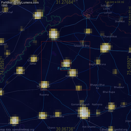
» NASA, Earths city lights 1995
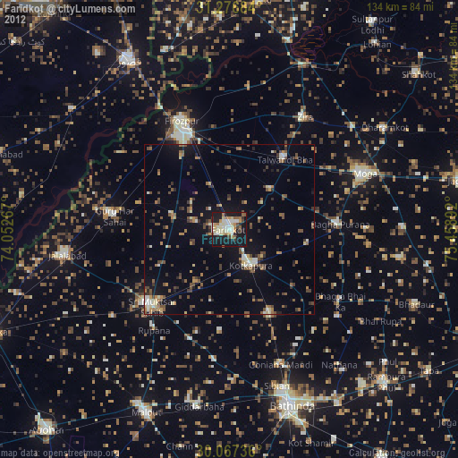
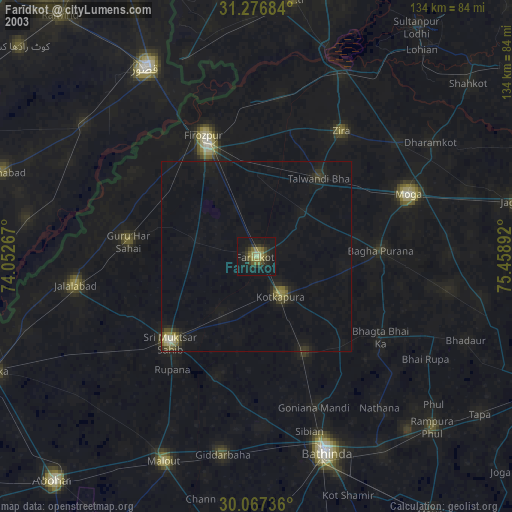
» NASA city lights 2003
» Earth at Night: Flat Maps 2012, 2016