Morena night lights from space
Night Light of Morena (Madhya Pradesh) from space (India) Src. Average luminocity for 10x10km area is 61.3182% and for 50x50km: 13.477%.
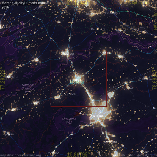
Analysis of Morena night lights 2016
Square area 10x10 km:
 10.42%
90-99
15.15%80-89
12.31%70-79
5.87%60-69
6.06%50-59
7.39%40-49
11.55%30-39
11.74%20-29
16.48%10-19
3.03%0-9
0%Square area 50x50 km:
1.47%90-99
2.29%80-89
1.85%70-79
0.86%60-69
1.32%50-59
1.66%40-49
2.52%30-39
2.87%20-29
4.71%10-19
10.37%0-9
70.07%Clear (daylight) street map image can be seen on geolist.org.
Map coordinates:
27° 7' 35.2" North, 77° 17' 32" East
26° 29' 56.1" North, 77° 59' 43.2" East
25° 52' 4.6" North, 78° 41' 54.5" East
Some cities around Morena sort by population:
• Gwalior
34.8 km =21.6 mi,  149°
149°
• Dhaulpur
24.4 km =15.2 mi,  331°
331°
• Bāri
41.1 km =25.5 mi,  293°
293°
• Morār
38 km =23.6 mi,  142°
142°
• Ambāh
32.4 km =20.1 mi,  45°
45°
• Porsa
42.1 km =26.2 mi,  62°
62°
• Jora
25.4 km =15.8 mi,  226°
226°
• Kailāras
43.5 km =27 mi,  240°
240°
1262771 (p: 152,004)
Sources (retrieved 2019-11-25):
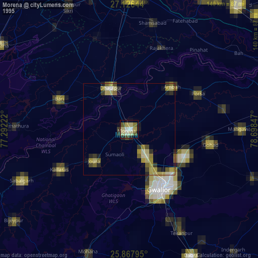
» NASA, Earths city lights 1995
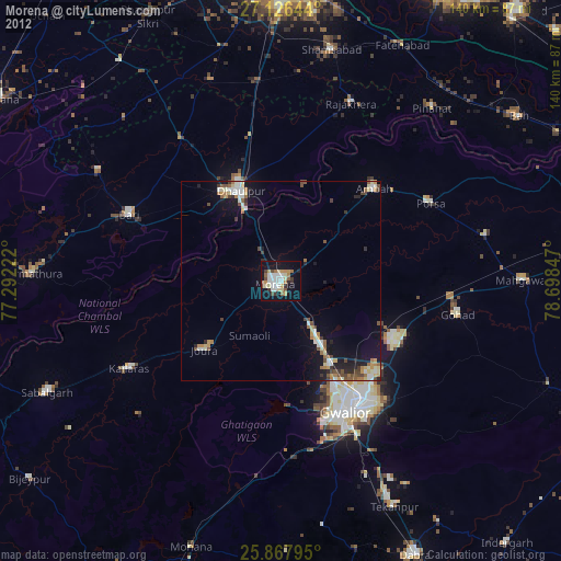
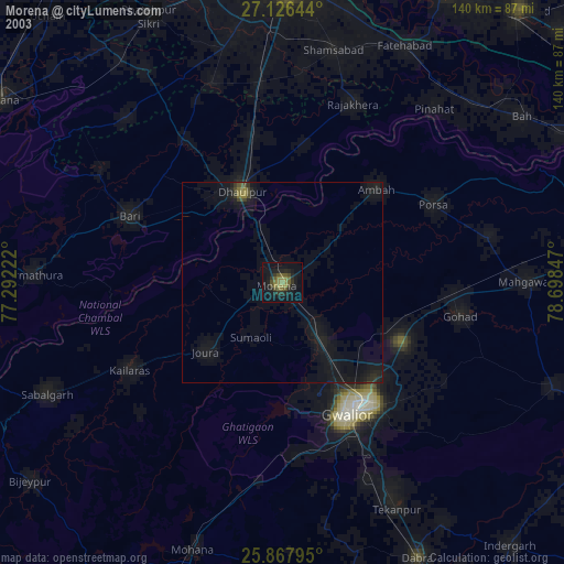
» NASA city lights 2003
» Earth at Night: Flat Maps 2012, 2016