Morār night lights from space
Night Light of Morār (Madhya Pradesh) from space (India) Src. Average luminocity for 10x10km area is 90.5754% and for 50x50km: 23.0265%.
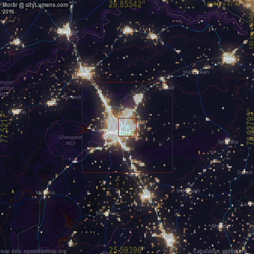
Analysis of Morār night lights 2016
Square area 10x10 km:
 36.71%
90-99
34.52%80-89
11.11%70-79
3.37%60-69
8.73%50-59
3.77%40-49
1.39%30-39
0.4%20-29
0%10-19
0%0-9
0%Square area 50x50 km:
3.88%90-99
5.5%80-89
2.98%70-79
1.87%60-69
2.03%50-59
3%40-49
3.18%30-39
2.91%20-29
6.53%10-19
13.34%0-9
54.79%Clear (daylight) street map image can be seen on geolist.org.
Map coordinates:
26° 51' 19.5" North, 77° 31' 18.1" East
26° 13' 35" North, 78° 13' 29.4" East
25° 35' 38.3" North, 78° 55' 40.6" East
Some cities around Morār sort by population:
• Gwalior
5.1 km =3.2 mi,  274°
274°
• Morena
38 km =23.6 mi,  322°
322°
• Dabra
39.4 km =24.5 mi,  164°
164°
• Gohadi
31.5 km =19.6 mi,  43°
43°
• Jora
43.4 km =27 mi,  287°
287°
• Mau
44.7 km =27.8 mi,  84°
84°
• Tekanpur
26.5 km =16.5 mi,  167°
167°
• Antri
18.8 km =11.7 mi,  184°
184°
1262783 (p: 44,451)
Sources (retrieved 2019-11-25):
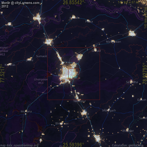
» Earth at Night: Flat Maps 2012, 2016