Ambāh night lights from space
Night Light of Ambāh (Madhya Pradesh) from space (India) Src. Average luminocity for 10x10km area is 26.5099% and for 50x50km: 5.9609%.
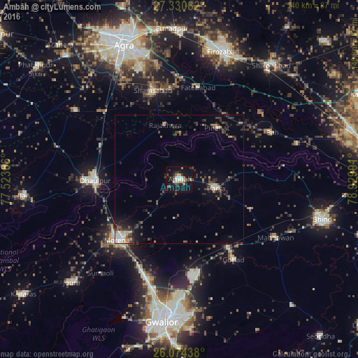
Analysis of Ambāh night lights 2016
Square area 10x10 km:
 2.58%
2.58%90-99
4.56%80-89
2.78%70-79
3.17%60-69
3.97%50-59
1.79%40-49
2.38%30-39
6.55%20-29
7.54%10-19
29.56%0-9
35.12%Square area 50x50 km:
0.44%90-99
0.71%80-89
0.55%70-79
0.49%60-69
0.55%50-59
0.98%40-49
1.23%30-39
1.92%20-29
1.87%10-19
3.53%0-9
87.73%Clear (daylight) street map image can be seen on geolist.org.
Map coordinates:
27° 19' 50.2" North, 77° 31' 25.2" East
26° 42' 15.2" North, 78° 13' 36.4" East
26° 4' 27.8" North, 78° 55' 47.7" East
Some cities around Ambāh sort by population:
• Morena
32.4 km =20.1 mi,  225°
225°
• Dhaulpur
34.5 km =21.4 mi,  267°
267°
• Gohadi
37 km =23 mi,  144°
144°
• Porsa
14.7 km =9.1 mi,  103°
103°
• Shamsābād
36.3 km =22.6 mi,  343°
343°
• Rājākhera
22.2 km =13.8 mi,  345°
345°
• Fatehābād
36.6 km =22.7 mi,  11°
11°
• Pināhat
25 km =15.5 mi,  36°
36°
1278868 (p: 40,523)
Sources (retrieved 2019-11-25):
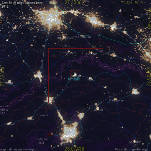
» Earth at Night: Flat Maps 2012, 2016