Bāri night lights from space
Night Light of Bāri (Rajasthan) from space (India) Src. Average luminocity for 10x10km area is 20.4489% and for 50x50km: 3.9609%.
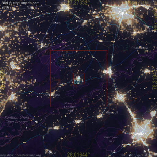
Analysis of Bāri night lights 2016
Square area 10x10 km:
 1.33%
1.33%90-99
3.98%80-89
1.89%70-79
0.95%60-69
3.79%50-59
1.33%40-49
5.68%30-39
1.89%20-29
8.14%10-19
10.61%0-9
60.42%Square area 50x50 km:
0.17%90-99
0.34%80-89
0.28%70-79
0.21%60-69
0.69%50-59
0.59%40-49
1.03%30-39
1.11%20-29
1.52%10-19
2.18%0-9
91.88%Clear (daylight) street map image can be seen on geolist.org.
Map coordinates:
27° 16' 24" North, 76° 54' 47.6" East
26° 38' 47.8" North, 77° 36' 58.8" East
26° 0' 59.2" North, 78° 19' 10.1" East
Some cities around Bāri sort by population:
• Morena
41.1 km =25.5 mi,  113°
113°
• Dhaulpur
26.7 km =16.6 mi,  78°
78°
• Bayāna
43.5 km =27 mi,  311°
311°
• Sabalgarh
48.8 km =30.3 mi,  205°
205°
• Jora
38.9 km =24.2 mi,  150°
150°
• Kailāras
38 km =23.6 mi,  180°
180°
• Khairāgarh
38.6 km =24 mi,  31°
31°
• Jagnair
24.2 km =15 mi,  356°
356°
1276948 (p: 56,136)
Sources (retrieved 2019-11-25):
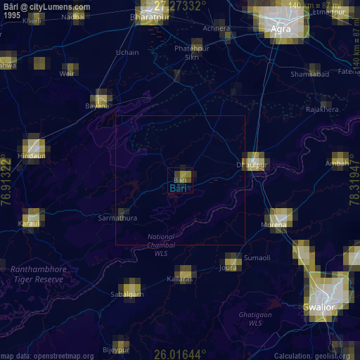
» NASA, Earths city lights 1995
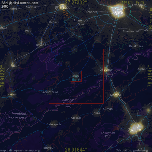
» NASA city lights 2003
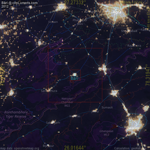
» Earth at Night: Flat Maps 2012, 2016