Dhaulpur night lights from space
Night Light of Dhaulpur (Rajasthan) from space (India) Src. Average luminocity for 10x10km area is 43.6326% and for 50x50km: 6.7114%.
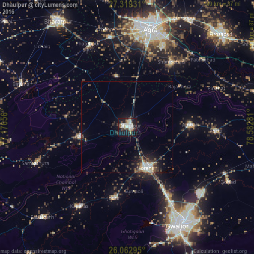
Analysis of Dhaulpur night lights 2016
Square area 10x10 km:
 9.09%
9.09%90-99
11.74%80-89
7.2%70-79
2.84%60-69
3.79%50-59
3.03%40-49
1.14%30-39
7.39%20-29
9.66%10-19
38.83%0-9
5.3%Square area 50x50 km:
0.79%90-99
1.1%80-89
0.88%70-79
0.37%60-69
0.53%50-59
0.73%40-49
1.37%30-39
1.8%20-29
1.79%10-19
5.32%0-9
85.32%Clear (daylight) street map image can be seen on geolist.org.
Map coordinates:
27° 19' 9.5" North, 77° 10' 35.6" East
26° 41' 34.3" North, 77° 52' 46.8" East
26° 3' 46.6" North, 78° 34' 58.1" East
Some cities around Dhaulpur sort by population:
• Morena
24.4 km =15.2 mi,  151°
151°
• Bāri
26.7 km =16.6 mi,  258°
258°
• Ambāh
34.5 km =21.4 mi,  87°
87°
• Shamsābād
43.4 km =27 mi,  33°
33°
• Rājākhera
36.8 km =22.9 mi,  51°
51°
• Jora
39.6 km =24.6 mi,  190°
190°
• Khairāgarh
28.4 km =17.6 mi,  347°
347°
• Jagnair
33.4 km =20.8 mi,  304°
304°
1272805 (p: 102,462)
Sources (retrieved 2019-11-25):
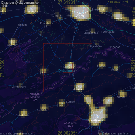
» NASA, Earths city lights 1995
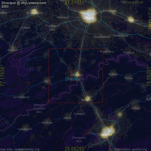
» NASA city lights 2003
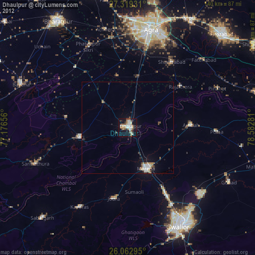
» Earth at Night: Flat Maps 2012, 2016